Blog  Natural Wanders 4WD Australia Blog
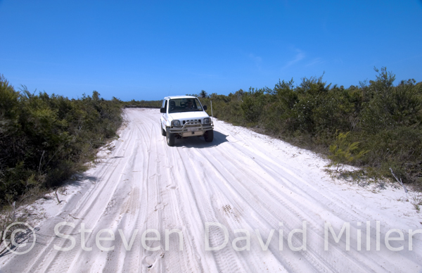
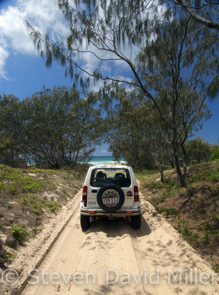
Bulwer-North Point Road, Middle Road, Tangalooma Wrecks on Moreton Island National Park. © Steven David Miller
 |
 |
 |
Moreton Island National Park with information on including North Stradbroke Island (From a story for 4X4 Australia magazine)
Anyone living near or visiting the Brisbane area might easily look to the east for a great 4WD adventure, but it is to the west, in Moreton Bay Marine Park, that a fabulous 4WD holiday lies; in fact, it just might make you forget Fraser Island even exists.
Like all holidays, planning and preparation are the keys to a good time. If possible, allow at least four days to fully enjoy a visit to Moreton Island (add more days if you are including Straddie). The passage is your greatest expense, so staying longer gives you better value for money. Planning should include a booking on the vehicle ferry from the Port of Brisbane to The Wrecks on Moreton (www.moretonislandadventures.com.au), booking campsites (www.nprsr.qld.gov.au Ph: 13 7468), arranging for a vehicle permit (www.nprsr.gov.qld.au Ph: 13 7468), checking Moreton Island tide tables for beach driving (http://tides.willyweather.com.au) or the Moreton Island Adventure website.
So, with the MiCat ferry and campsites booked on Moreton, here are some suggestions based on the assumption that you have all the necessary camping gear and/or an off-road camper-trailer, and that you prefer to park your vehicle at your campsite. With all supplies fully stocked, board MiCat and take the opportunity to engage 4WD and lower the tyre pressure on your vehicle and camper-trailer before arriving at the Wrecks where MiCat disgorges its contents. The Wrecks Campground (CG) is walk-in/tents only, the Ben-Ewa CG is about 1.4km north of The Wrecks CG with vehicle based camping and sites for camper-trailers. Another option is to do a low tide beach run north to Bulwer and camp at Comboyuro Point CG, but the beach isn’t as gorgeous as at Ben-Ewa. If bushcamping back from the foreshore is more your style, then the Northwest Camping Zone (CZ) runs between the Ben-Ewa and Comboyuro Point CGs with fairly easy access along the beach. The Southwest CZ spans from south of the Tangalooma Bypass Track for 17km to Toulkerrie, however this beach run is trickier than the one north of Tangalooma, and this would be more suited to a group travelling in a convoy of at least two vehicles.
With a campsite set up on this calmer side of the island, here are a few things to do. A swim from the beach at The Wrecks is a must with a protective artificial reef and breakwater just offshore formed by 14 old barges and dredges sunk to provide safe anchorage for boats. Four wheel driving is also a must, of course.
Middle Road consists of two one-way tracks bisecting the middle of the island. The western end is at S27°09’18” E153°22’07”, just .5km south of Ben-Ewa. To access the beach south of Tangalooma, travel east on Middle Road for 1.5km, then turn south on the Tangalooma Bypass Track (a sign indicates East Beach) for 3km. To the left is a 2km track to The Desert with a walking trail to the dunes where sand tobogganing is permitted (sand boards can be purchased on MiCat or at the Castaway Store in Bulwer). To the right, it is another .6km to the beach, but here, debris and soft sand drifts can make for challenging driving. For experienced beach drivers in a convoy with recovery gear, a 12.1km run south to Big Sandhills is a great way to explore this part of the island. The Foreshore Flats begin 2.5km further providing the chance for some tidal pool exploration at low tide before returning north.
At .8km north of Ben-Ewa is the 3.5km Cowan Cowan Bypass Track that exits on the beach just past Cravens Creek (S27°06’40” E153°22’11”); Curtin Artificial Reef is offshore with good fishing and snorkelling. Four kilometres north along the beach is Bulwer, which is basically the end of beach driving on the bay side of the island, though a wander around Comboyuro Point is certainly worthwhile.
Middle Road is also best driven from a base camp since towing is not recommended on this track with deep, soft sand (use the Bulwer-Blue Lagoon Road instead). From the east entrance of Middle Road, travel for 7.2km to the turnoff for Mount Tempest, a track leads to a parking area with a 2.5km return steep climb to a lookout with panoramic views of the entire island. Middle Road continues for .6km to Jason Beach on the ocean (S27°09’28” E153°25’38”). Since a run to the south is required to access Kooringal and the Amity Trader to Straddie, it makes sense to explore to the north.
For those who want to bushcamp on the windier, ocean side of Moreton, the Northeast CZ extends from Middle Road to about 1km north of the Blue Lagoon CG. The Yellow Patch CZ is west of the North Point CG and the Southeast CZ extends from Middle Road to Little Sandhills. At 2km north of Middle Road is the first in a series of “N” kilometre markers placed every two kilometres along the ocean beaches. Take it easy through Eagers Creek (1.3km from Middle Road) as it flows right across the beach and into the ocean. Behind the N2km marker is Eagers Swamp and Mount Tempest rising to 280m. Just north of the N4km marker is a good place for some surf fishing. The N6km marker is near the Bulwer-Blue Lagoon Road entering from the west; this is the road that should be used to access the Blue Lagoon CG and both the Northeast and Southeast camping zones if towing a camper-trailer. Up the beach is a sandy track to Blue Lagoon with swimming in a pristine freshwater lake, face this track straight on and make a straight run up without stopping (if you get stuck, try lowering your tyre pressure a bit). The N8km marker indicates the Blue Lagoon CG. Spitfire Creek flows across the beach near the N10km marker, continue past the N12km marker to Braydon Beach and then stop at the N14km marker (S27°02’24” E153°27’50”) for a picnic or a swim if conditions allow. Cape Cliff provides some nice rock fishing, but only if the seas are calm.
After a break on Braydon Beach, check the tiered track for oncoming vehicles, and then make a steady run uphill along the wooden slats. After 1km branch right at the T-junction to the carpark for the Cape Moreton Conservation Park with the QPWS information centre, the Cape Moreton Lighthouse (no access) and a short walking trail to a lookout. This is the best place on the island to look for whales. Back at the T-junction, turn right and continue for .7km then turn right again to North Point and Honeymoon Bay. The North Point CG is here, but it only has four camper-trailer sites and all tent sites are walk-in only. The trail to Honeymoon Bay is a must with a network of tidal pools along the way.
From the North Point CG carpark, turn left and drive on the beach for 1km, exiting to the left near the Yellow Patch sandblow, then turn right on the Bulwer-North Point Road. Head west for 3.7km to a parking pull-out with a short walking track to the Five Hills Lookout providing views of the Heath Island and the Yellow Patch spits that almost meet at their tips to form a lagoon system of critical importance to wading shorebirds.
The Bulwer-North Point Road ends after another 3km, to the left is the Bulwer-Blue Lagoon Road to the ocean beach, and to the right is the road to Bulwer. Turn right and travel for 1.5km, and then turn left for 2.6km to Bulwer where a track on the right continues to the Comboyuro Point CG. The Bulwer Bypass to the beach is on the left and this is the only way to get back to the Ben-Ewa CG. Make sure you are not going to be caught on a rising tide, and drive south on the beach for 3km to the Cowan Cowan Bypass Track which runs for 3.5km and delivers you back on the beach just .8km north of the Ben-Ewa CG.
If you don’t mind pulling camp and setting up again on the east coast, then use the Bulwer-Blue Lagoon Road if towing, or Middle Road. A few nights at the Blue Lagoon CG would be nice; bushcamping extends from just north of there all the way to the south of Rous Battery. This area is a great place to camp, especially if you are extending your 4WD holiday by taking the Amity Trader barge from Kooringal to South Stradbroke Island (bookings on 07 3820 6557 www.amitytracer.com). Plan your beach drive south around a low tide. There is no camping right around Kooringal, so you should be packed up and ready to take the barge when it is scheduled to leave. From Middle Road, navigate south on the beach using the “S” km markers that begin with S1. Continue past S3 and S5; S7km marker is close to White Rock, which is said to have good surf fishing. S9 is still in the Southeast camping zone, as is S11 in the Rous Battery area where bore water is available. By S13 you are out of that zone; near S15 is Little Sandhills with pedestrian access only. About 1km south of S17 is the bypass track to Short Point and Kooringal; driving is only permitted to S19 and around the ocean side of Mirapool one hour either side of a low tide with a 30km/hr speed limit.
In Kooringal, continue past the airstrip and then left on the Esplanade to the Gutter Bar, the barge lands at the spit (S27°21’4” E153°25’17”). If you have a few hours before departure, go for a walk between Campbell Point and Reeders Point, or take a drive on the 6km bayside track to Toulkerrie; the Toulkerrie Oyster Farm sells fresh oysters on site. Local seafood can also be purchased from the Kooringal General Store.
Whether you do one island or both, we are pretty sure that you’ll be back for more. Moreton Island is superb. And so, to Straddie....
© Linda Lee Rathbun
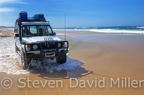
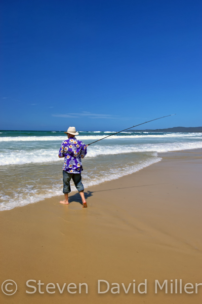
4WDriving on Fraser Beach, Surf Fishing on Fraser Beach, 4WDriving on Tripod Track on North Stradbroke Island. © Steven David Miller
 |
 |
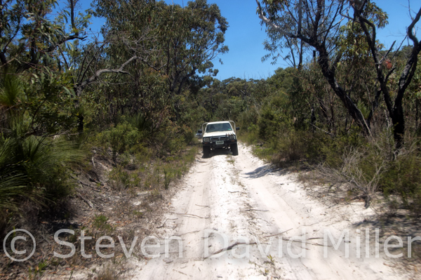 |
After a short trip from Moreton Island across the South Passage, the barge lands at North Stradbroke Island’s Amity jetty (the island is affectionately known as Straddie). Now that decades of sand mining have ceased, two of the tiny national parks have been expanded into a single, much larger park called Naree Budjong Djara (for more information visit www.nprsr.qld.gov.au and www.stradbrokeisland.com). 4WD permits (for beach driving) are required and are available from Straddie Camping Ph: (07) 3409 9668 www.straddiecamping.com.au. General supplies are available from the Amity General Store on Ballow Street. Fuel and supplies are also available in Dunwich (Foodworks on Stradbroke Place) and at Point Lookout (Foodworks on Endeavour St).
Setting up camp is probably the first order of business. If you are bushcamping behind the foreshore of Main Beach or Flinders Beach, you’ll need to access a site no more than two hours either side of a low tide and you won’t be able to drive at all on the beaches one hour either side of a high tide (for tide times visit www.tides.willyweather.com.au and navigate to North Stradbroke Island; tide tables are available from many shops and from Stradbroke Ferries). Flinders Beach offers 200 designated, BYO everything sites with a total of four composting toilets: one each at Track 3,5,7, and 9; Flinders is usually a bit less windy than Main Beach. The camping zone on Main Beach begins 7.5km south of the Causeway that is accessed via Tazi Road from Dunwich, from Fisherman’s Road off the East Coast Road with a 7.5km beach run to the Causeway, or from Point Lookout with a 9.5km beach run to the Causeway. This zone, with 400 designated sites, is ideal for those who want a quieter (though windier) camping experience; it runs for about 15km almost to Jumpinpin and you can tumble out of your tent or camper trailer straight onto the beach for some surf fishing. If you prefer a few more creature comforts, then the Cylinder Beach CG is within walking distance of the Point Lookout facilities and the surf beaches. The Adder Rock CG is at the east end of permitted beach driving on Flinders Beach. The campgrounds at Amity Point and Dunwich are near the calmer, bayside waters. Book all camping sites in advance through Straddie Camping Ph: (07) 3409 9668 www.straddiecamping.com.au.
So, after stocking up on supplies and fuel and then setting up camp, what is there to do on Straddie? For extensive walking information, visit www.nprsr.qld.gov.au then navigate to About Naree Budjon Djura and scroll down to Things to do. For some 4WDriving starting at the Amity jetty, head to the northwest point of the island via Claytons Road and Sovereign Road; bend around to the left just past Gore Street and follow the track to Flinders Beach, 2.5km (S27°23’20” E153°27’18”). If you raised your tyre pressure for Straddie’s sealed roads, then stop to lower those tyres again and engage 4WD. Turn right (4WD access is not permitted to the left), stay below the maximum speed limit and stay between the low and high tide mark. The camping zone begins at 2.5km with numbered tracks running up from the foreshore. Watch for freshwater creeks at about 5.5km from the start of the beach run, at 7.5km and at 8km: this last creek crossing should be done closer to the high tide line. The Flinders Beach run ends at about 9km from the start (S27°25’18” E153°30’44”) turn right and find the Adder Rock CG to the left.
To access Main Beach from Point Lookout, proceed east on the East Coast Road past the Islander Holiday Resort and turn right on George Nothling Drive with 2.5km to the beach (don’t forget to engage 4WD, drop that tyre pressure again if needed and stick to the speed limit). To the left toward South Gorge is a great surf beach (with no 4WD access), a section of which might be patrolled by the Surf Life Saving Club. Turn right for the Main Beach 4WD run with a few scenic stops along the way. It is 2km to a deep, sandy rutted track entering on the right, turn right, continue for .5km then turn left on Fisherman’s Road to The Keyholes (about 2km, watch for deep potholes filled with water). Park your vehicle and walk the short trail to The Keyholes, a pristine freshwater lake with superb swimming. If you have a kayak with you, you can paddle through the lagoon system that extends for about 3km to the south (no fishing). Return to Main Beach via the same route (S27°27’44” E153°31’38”), from there it is 7.5km to the Causeway. From the Causeway, you can continue driving on the beach for another superb 24km to Jumpinpin. Up from the foreshore are the camping areas, beyond those is Eighteen Mile Swamp (with plenty of mossies) and beyond that are forests and sand dunes. It is tantalizing to ponder how access to the interior of this part of the island will open up as old sand mining areas are restored. The beach widens into a dune system toward the end of the beach run with a spit that encloses Swan Bay. There is no vehicle or pedestrian access beyond this point and you have to return to the Causeway (S27°31’22” E153°30’09”) via Main Beach.
For the one and only 4WD track accessible to the public (hopefully that will change), turn left at the Causeway and drive .5km before veering left to sealed Tazi Road. The Tripod Track enters after 2km on the right (S27°30’44” E153°28’47”). Stop to engage 4WD and lower your tyre pressure: expect tree roots running across the track, steep ascents and descents that may require low range, and two-way traffic on a single lane track. There are a number of fire-break trails running off to both sides, don’t drive on these but do use them to pull over and let other drivers by, be considerate and give way to uphill traffic. At 6km from the start, several fire trails converge at Five Ways. Tripod Track bends around to the left and then almost immediately branches to the right. At 8.5km (S27°26’46” E153°27’54”) you veer right: this is a good place to stop with the Tripod Lookout offering views of Moreton Island to the north and Jumpinpin to the south. The track drops down a hill; watch for vehicles grinding their way uphill in low range. Tripod Track ends after a total of 11km at the intersection with sealed East Coast Road. Dunwich is to the left, Point Lookout is to the right, and you can access Amity by turning right and then immediately left onto Beehive Road.
There is plenty to keep you busy on Straddie for at least a week, and a few places shouldn’t be missed. Back on Tazi Road, about 1.5km west of the Tripod Track, is the parking area for Blue Lake; this is the original national park on Straddie. Two trails penetrate the park with a 6km return walk to the Neembeedda Lookout, and the Karboora 5.2km return walk to Blue Lake (no swimming). If swimming in freshwater is what you want, then continue on Tazi Road to the Brown Lake Recreation Reserve, turn right and follow the 1km gravel road to a picnic area with BBQs, toilets and swimming.
A look around Point Lookout is also a must: a scenic walking trail bends around the northeast tip of the island with access to the Cylinder Beach and headland, Deadmans Beach, Frenchman’s Beach and lookouts at North Gorge, Point Lookout and South Gorge: be sure to watch for migrating humpback whales and dolphins playing in the surf. The gutter to the south of North Gorge is a good place to watch for marine life from the lookout above.
And so sadly, even tragically, your time on these two superb islands must come to an end. Pack up your gear and head to Dunwich where you catch the ferry to Cleveland (for Stradbroke Ferries Ph: (07) 3488 5300 www.stradbrokeferries.com.au)--although--you could just stock up on supplies and return to Moreton on the Amity Trader. Either way, sooner or later, you’ll be planning your next trip to Moreton Island and Stradbroke Island the moment you leave. Both are, in short, unforgettable.
© Linda Lee Rathbun
For complete tour information and trip notes please see both the Moreton Island and North Stradbroke Island getaways in our Explore Australia 4WD Australia: 50 Short Getaways book <www.exploreaustralia.net.au/Bookshop/Guides/Four-wheel-Driving/4WD-Australia-50-short-getaways-2nd-ed>.
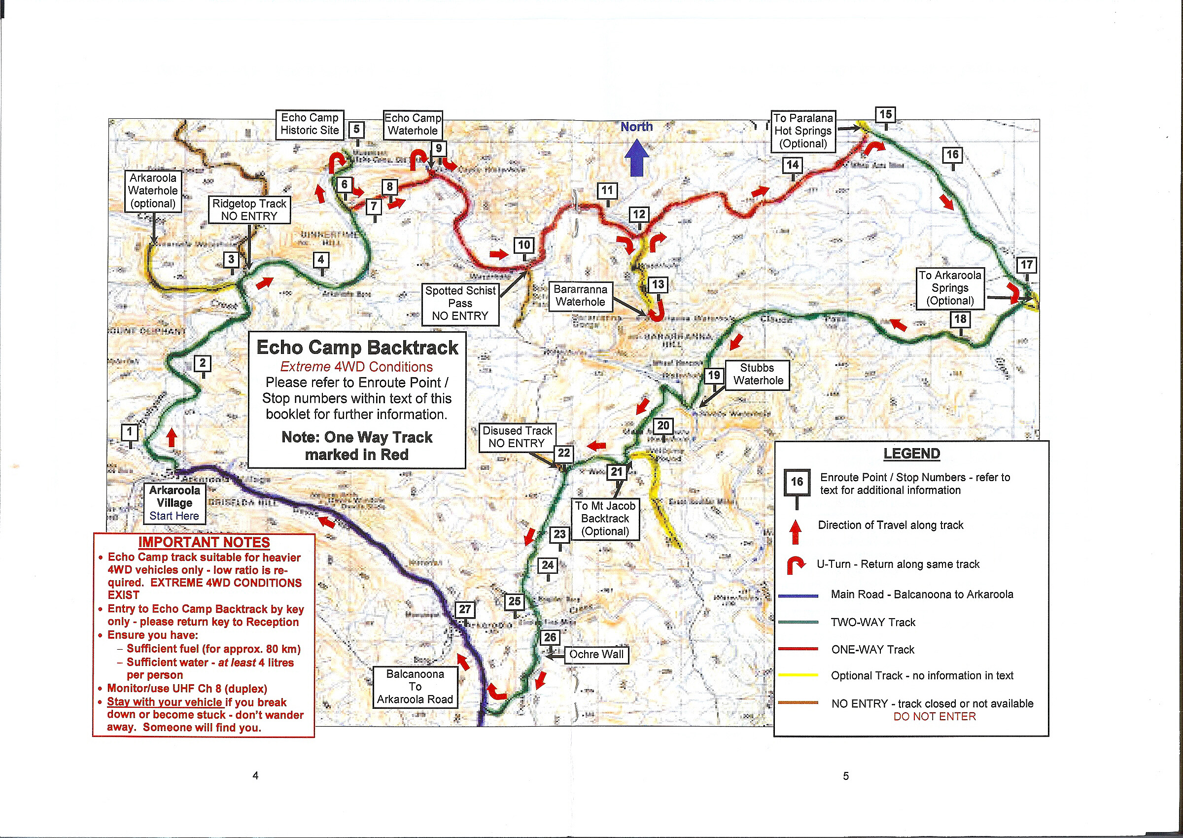
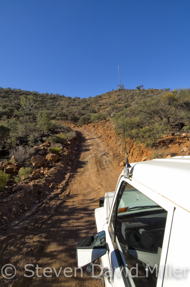
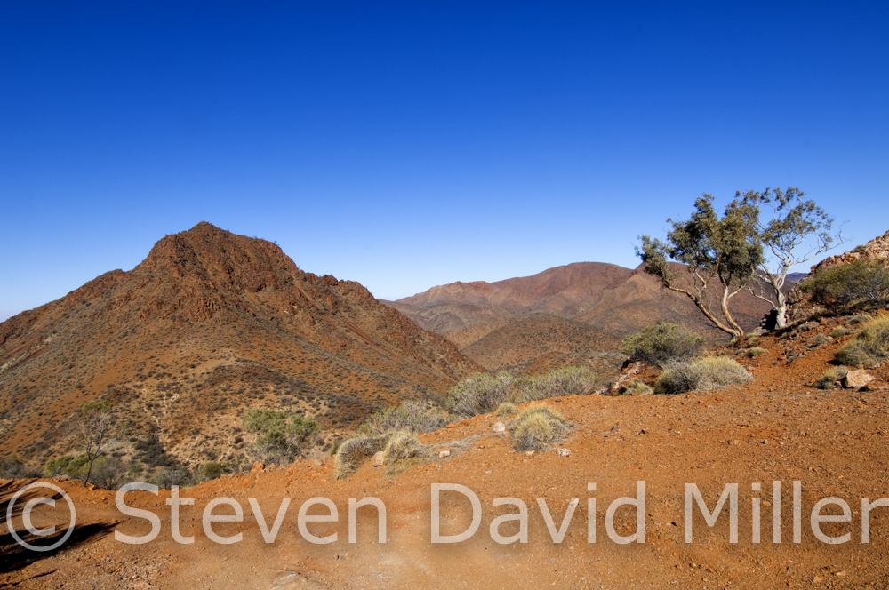
Echo Camp Backtrack Map, 4WD Track, Scenery & 4WD Track at Arkaroola Wilderness Sanctuary in South Australia. © Steven David Miller
 |
 |
 |
Arkaroola Wilderness Sanctuary (From a story for 4X4 Australia magazine)
If you are travelling in the Flinders Ranges area, it would be a tragedy to miss the superb Arkaroola Wilderness Sanctuary. There is accommodation at the village, or you can set up at the okay-campground on the top of a perpetually windy hill (bush camping is also available in designated areas). The ragged terrain may appear desolate and barren, but look closer and find rocks sparkling with veins of quartz, tourmaline and malachite; not to mention creek beds littered with amethysts, rubies and sapphires. Everything about Arkaroola is fascinating. The owners, Margaret and Doug, are the son and daughter of Reg and Griselda Sprigg, a couple whose life story would make an-impossible-to-believe romance/adventure novel. Margaret is a geologist, like her father, and Doug is an astronomer as well as a pilot and diesel mechanic. Put a couple of days at Arkaroola in the hands of Margie and Doug, and you’ll be doing scenic flights over Lake Eyre, guided or self-guided waterhole tours and walks, tagalong or self-guided 4WD tours, the thrilling (guided only) 4WD Ridgetop tour, geology talks & walks, astronomy tours of the sky in one of the three observatories---or you can just camp and drive on your own.
Once you have checked in at the village, caught up with what there is to do and picked up route notes for all the tracks, have a look at the interpretive centre. There are some unexpected pieces of historic memorabilia about the place, including Australia’s first deep sea diving chamber, built by Reg Sprigg’s company, Geosurvey of Australia (for you 4WDriving SCUBA divers, Reg Sprigg and his diving team held the South Australia offshore deep diving record of 90 metres). A great introductory drive at Arkaroola is out to Nooldoonooldoona Waterhole with a stop afterwards at Bolla Bollana Spring to look for yellow-footed rock wallabies in the late afternoon. Book in for the guided 4WD Ridgetop Tour: a buckling, roller-coaster ride in slow motion with passengers seated at the back of an open Toyota being tossed into the laps of complete strangers...this can be good or bad, depending on the lap. (Please see our Natural Wanders Nature Blog for more on the Ridgetop Tour).
If the Ridgetop Tour gets you revved up enough to do an extreme track on your own, AND if you are totally sure of your skills, you have a high-clearance 4WD with low range, two spares and full recovery gear, then go to reception to find out about the Echo Camp Backtrack. All the required information is listed in the route notes and map; this should be followed to the letter. The Backtrack is also available as a tagalong tour, which is a good option for those of us man (and woman) enough to admit we aren’t up to doing it on our own.
So, let’s have a go on that easy track to Nooldoonooldoona; Arkaroola rates it as easy and claims that a 2WD could complete it. We beg to differ, mostly because the rocky creek beds could easily rip the bottom out of any vehicle without reasonable ground clearance. Drop down the hill from the campground and turn left, noting the Mini Remarkable Ridge coming up within the first kilometre. The route notes will explain the history behind many features which are either along the main route or on short side trips; for example The Pinnacles which are the eroded remains of ancient volcanoes (remember, everyone around here is into geology). Ignore the Bolla Bollana Spring turnoff for now (7km) and continue across a creek bed (probably dry) and along the well-signed track for another 6km. This is that rough creek bed we mentioned, which may require 4WD; the Nooldoonooldoona car park is within another kilometre. Follow the painted footprints to the waterhole (swimming is not permitted). This is a great spot for a picnic; study the ground carefully to find a bed of rocks shimmering in the sunlight like clusters of glitter. Make your way back 6km to that Bolla Bollana Spring turnoff, it is 1km to the car park. A likely place to find yellow-footed rock wallabies bounding up the escarpment like gymnasts dressed in striped football jerseys, is down along the creek bed at a set of giant boulders on the left. Sit here quietly with a pair of binoculars in the late afternoon and you’ll see an impressive display of agility.
By now you will have eaten enough dust and ridden enough corrugation to make you want to go home, or simply keep going. Back down the road from Arkaroola is Balcanoona. Turn west on unsealed Copley Road and drive 99km to access Copley, Leigh Creek and sealed B83. Better yet, turn northeast on Copley Road for 98km to join the Strzelecki Track leading to sensational Innamincka, Coongie Lakes, the road to Birdsville--these are temptations beyond enduring and the boss may simply have to do without you for a bit longer.
On the other hand, maybe it’s time to retire (or quit).
© Linda Lee Rathbun
For more information visit . For complete tour information and trip notes please see the Arkaroola Getaway in our Explore Australia 4WD Australia: 50 Short Getaways book
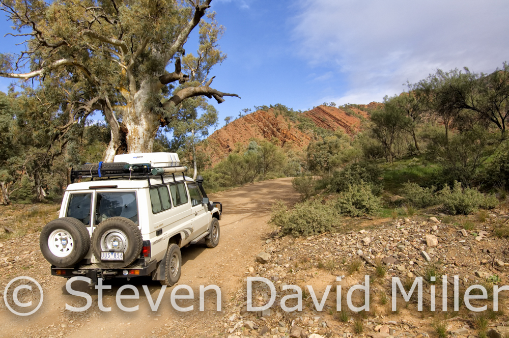
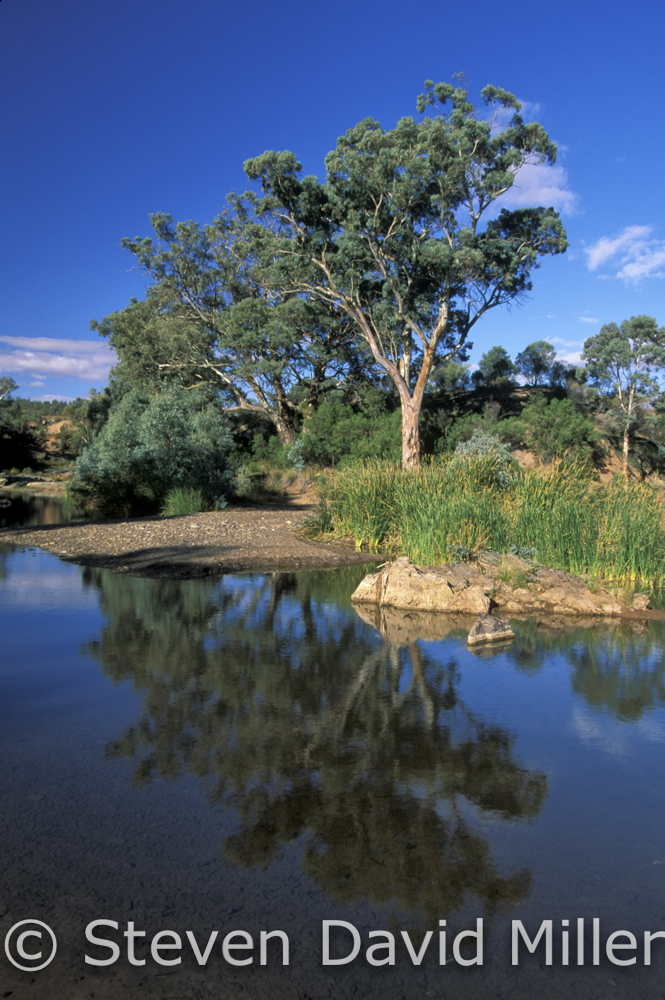
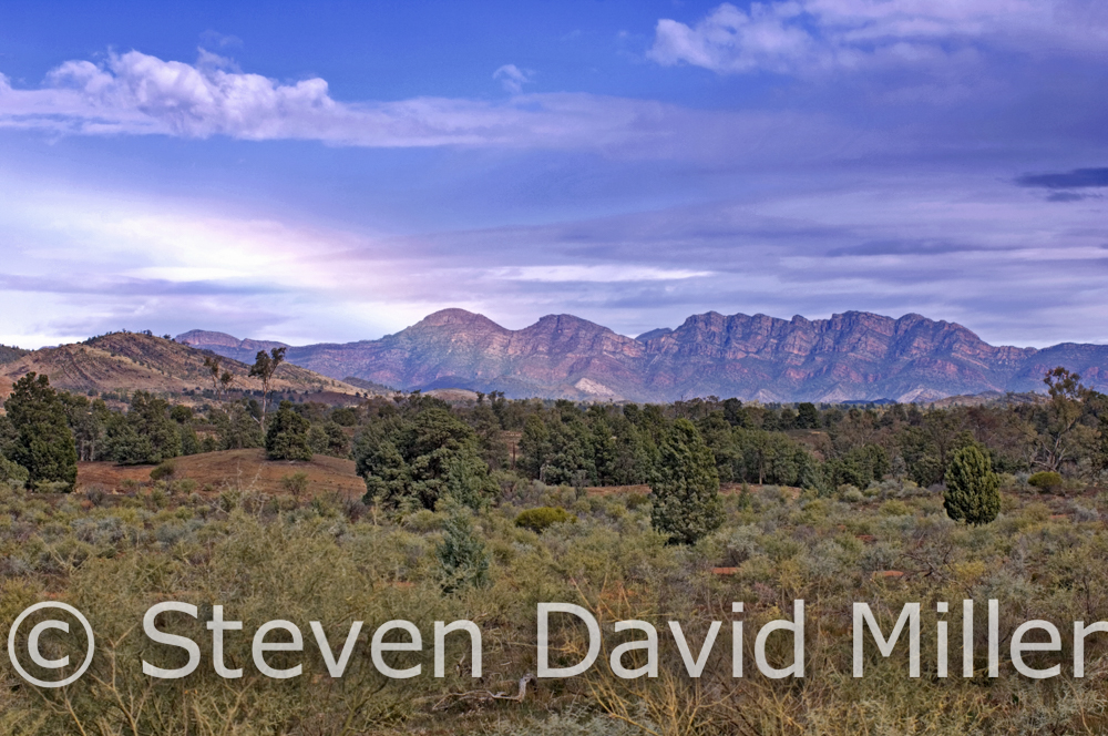
Brachina Gorge Geological Trail, Etina Creek, Flinders Ranges in Flinders Ranges National Park, South Australia. © Steven David Miller
 |
 |
 |
Brachina Gorge Geological Trail
Anyone interested in geology and the formation of South Australia’s Flinders Ranges will delight in the highly informative 20km Brachina Gorge Geological Trail (best done in a 4WD). A guide map can be purchased as the Wilpina Visitor Centre for $1.00.
The Geological Trail is very well marked, and even if you think you’re not interested in geology, you soon will be here. We passed through siltstone and shale, then dolomite, then sandstone and tillite. Signs explained what all these were. To me, it looked as if pyramids of massive bricks had been tipped over on their sides to form the ranges. They were ragged and wild and exciting. One sign indicated I was looking at wilkawillina limestone, and a closer look revealed a number of fossils in the rocks. These were calcareous algaes and sponges, a mere 530 million years old. The fossils are easier to see if one pours a bit of water over the surface, and the best examples are around to the right of the sign. As we photographed the rocks, a pair of emus tiptoed past in a manner that clearly indicated they didn’t want us to notice them.
There are also signs along the way pointing out the older formations at the eastern end (enorama shale), and the younger formations at the western end (wilkawillina limestone). As we approached Brachina Gorge, the scenery was beautiful. We stopped at one spot where Etina Creek was running with reeds surrounding a gum tree on its banks; this pool of water reflected the blue sky and passing clouds. Swallows dropped from the sky and skidded along the surface of the water, scooping up insects. It was a perfect landscape.
After taking in this picturesque scene, we drove on. I wanted to camp in Brachina Gorge. We found the Brachina camping area, and selected a site. This is bush camping at its very best. The sites are along the southern bank of Brachina Creek, and to the north is a rocky hill. A group of yellow-footed rock wallabies live here.
We made dinner before it got dark, which in winter is by 6pm. I had a sponge bath, and changed into warmer clothes. Steve made a fire, and we sat by the flames, enjoying the warmth. A breeze rushed through the branches of the gum trees up above. As it grew dark, flocks of corellas and galahs flew overhead, on their way home to their roosting trees. It was a perfect place to be. On a final note for the day, Steve went out for a bit of spotlighting. He saw a tawny frogmouth and an owl. Venturing on, he heard a noise in the tree above. He shone the light up and disturbed a sleeping corella, who chastised him with a loud squawk. The corella was right. It was time for sleep.
We woke early to enjoy dawn in the Flinders Ranges. When the sun first casts its light on the rocks, they glow like flames. We wandered across the dry creek bed and up the hill to where the yellow-footed rock wallabies lived. A few were out, one with a joey in its pouch. A flock of corellas decorated the tree above with their white plumage, making those frantic little complaining sounds that is so characteristic of this comical parrot. We returned to our campsite for some breakfast, and watched a flock of mallee ringneck parrots feeding on some grasses across the way from us. As we exited the trail and the boundary of Flinders Ranges National Park, we were, as always, awestruck by its beauty.
© Linda Lee Rathbun
*For more information visit http://www.wilpenapound.com.au/explore-flinders-ranges/. For complete tour information and trip notes please see the Flinders Ranges and Brachina Gorge trip in our Explore Australia 4WD Australia: 50 Short Getaways book (http://www.exploreaustralia.net.au/Bookshop/Guides/Four-wheel-Driving/4WD-Australia-50-short-getaways-2nd-ed).
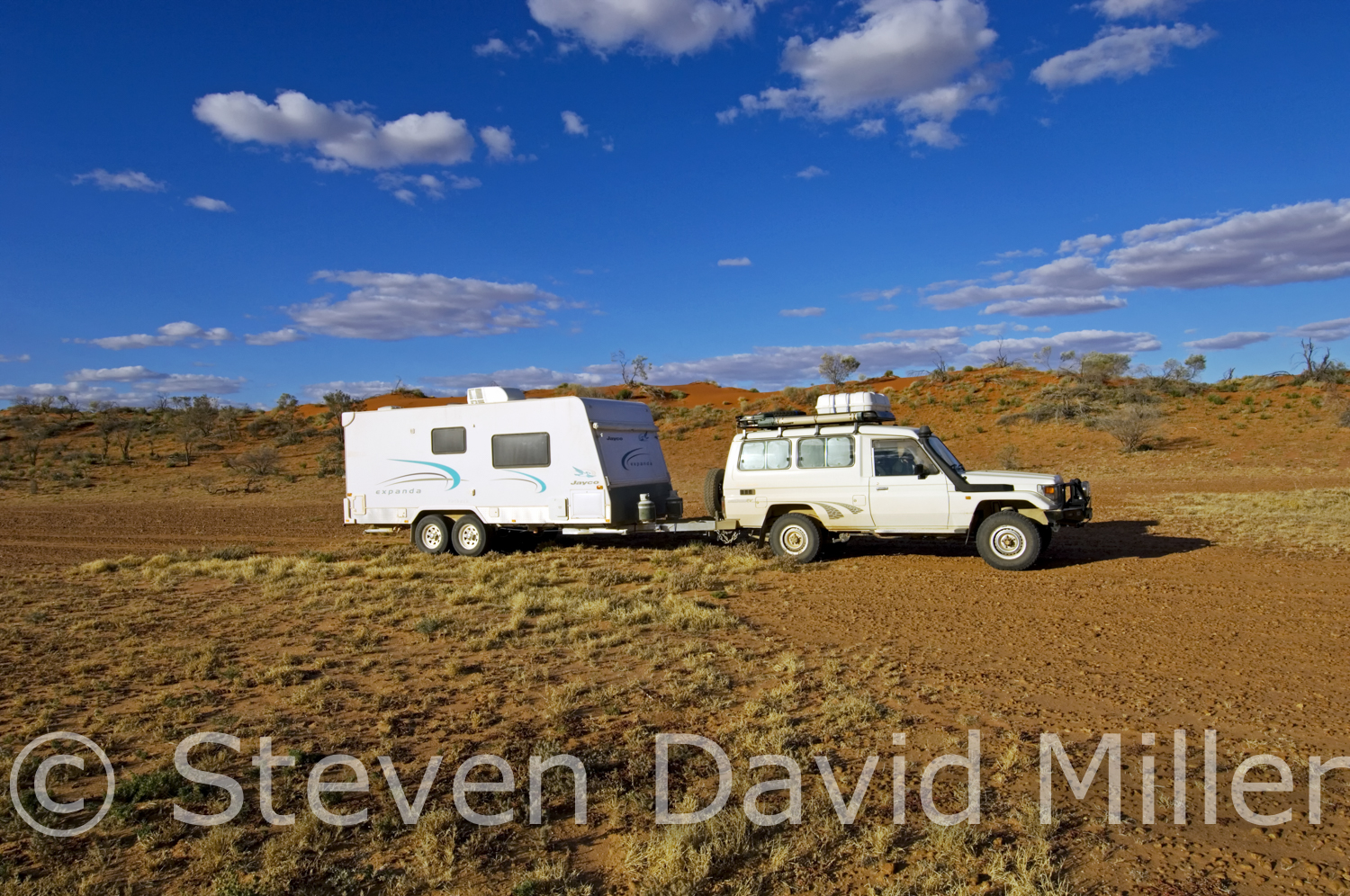
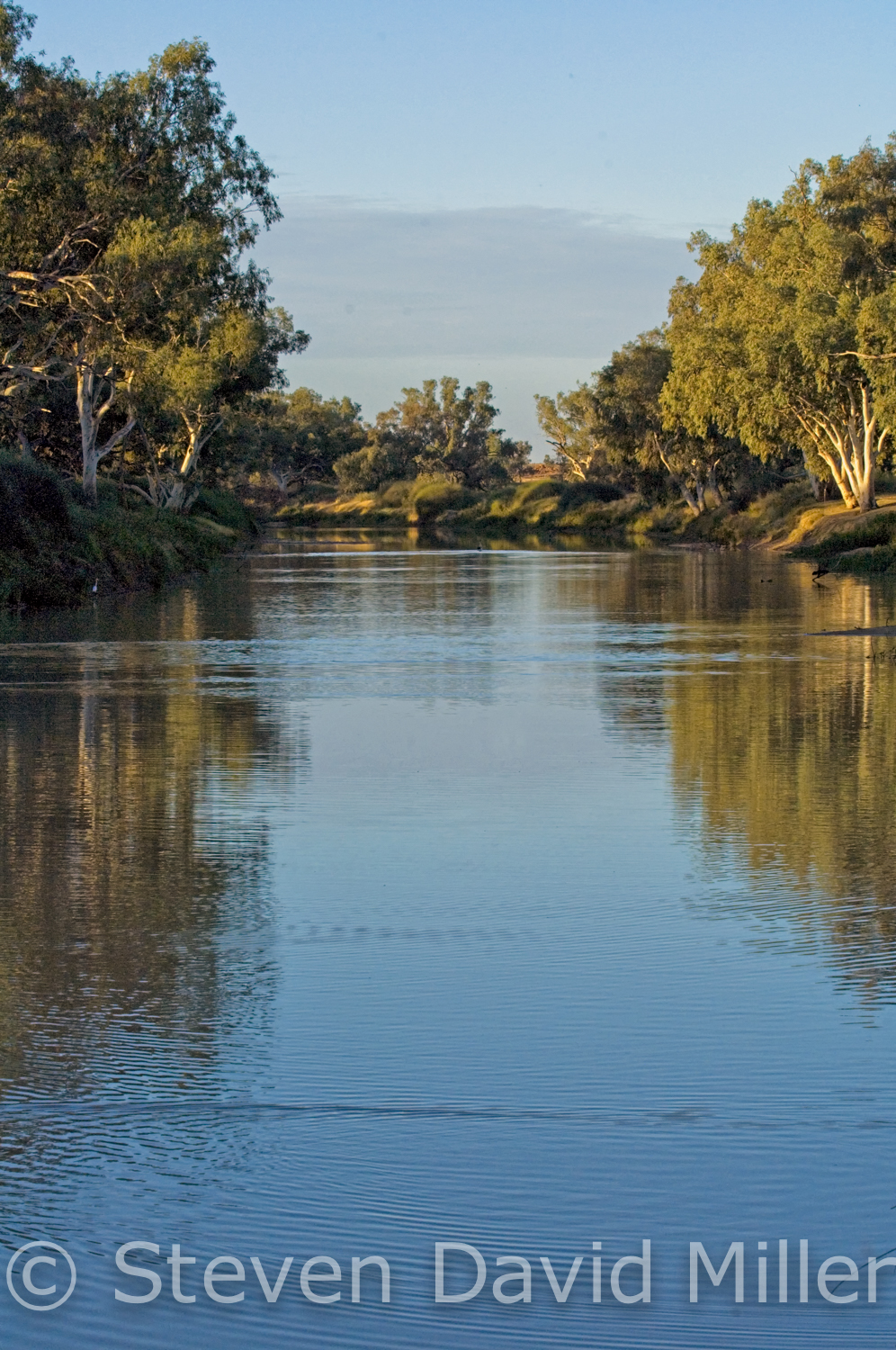
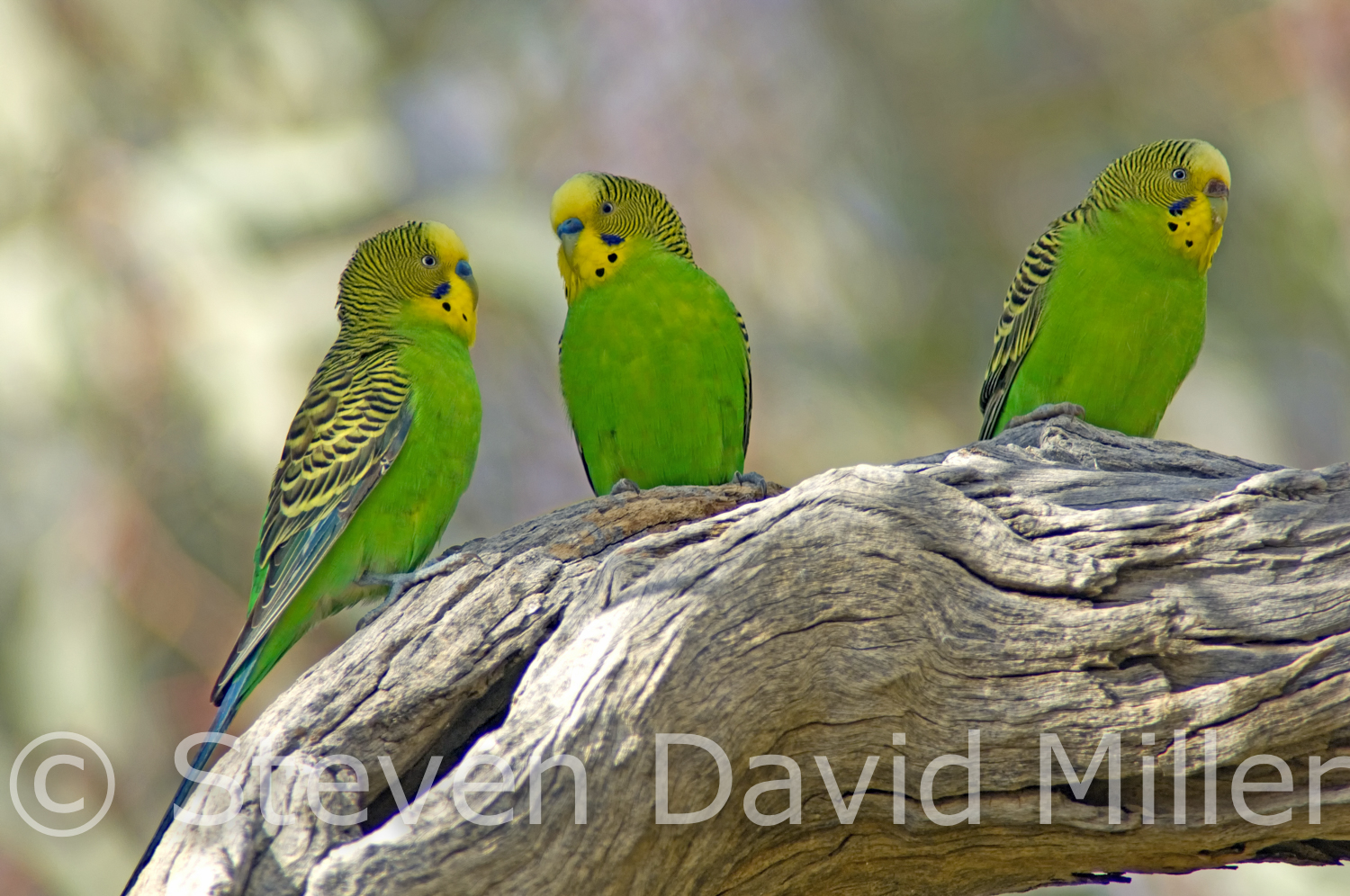
Innamincka Regional Reserve, Cooper Creek, Budgies at Innamincka Campground all via Strzelecki Track, South Australia. © Steven David Miller
 |
 |
 |
The Strzelecki Track (from an article for 4X4 Australia magazine)
It is a bit of drive from Lyndhurst to Innamincka in South Australia, so a good starting point is the Copley Caravan & Cabin Park where you can top up your water supplies and have a chat with the owners, David and Shirley, about the Strzelecki Track. A visit to the Quandong Cafe & Bush Bakery is essential to stock up on rock cakes and other baked goods for the journey ahead.
Just 33km north is Lyndhurst and the southern end of the Strzelecki Track. The original track ran along Strzelecki Creek and was a well-known trading route to the regional Aboriginal groups. Charles Sturt journeyed along it in 1844 on an expedition that nearly killed him. Augustus Gregory followed the creek for a while on an 1858 expedition to look for Leichhardt who had vanished a decade earlier attempting to bisect Australia from Brisbane to Perth. The 1860-61 Burke and Wills expedition, with a base camp along the Cooper Creek, killed both those men along with Grey who died near Coongie Lakes. The fourth member of the group, King, only survived because he accepted help from local Aboriginals, but he never recovered from the catastrophic ordeal. Memorials to the men, including the historic Dig Tree, can be seen in the Innamincka area.
It was Captain Starlight (Harry Redford) though, a gifted and audacious cattle duffer, who opened up a legendary new stock route in 1870 when he drove a mob of 1,000 stolen cattle along the creek to Blanchwater, where he sold the beasts to a station owner for $10,000. He was arrested for his efforts and then acquitted by a jury of awestruck peers, going on to lead some of the most famous cattle drives in droving history. The track no longer follows the creek; it has shifted to the west and now meets the needs of the Moomba gas and oil fields that pump a million dollars worth of product per day.
At Lyndhurst, be sure your fuel tanks are full and turn right onto the track. Road trains and heavy trucks will be sharing the road with you so use extreme caution, especially when clouds of bulldust reduce the visibility to zero. Talc Alf (Cornelius Alferink) lives a few kilometres up the road, a true outback character and talc sculptor. At 26km is a monument on the right: it is a memorial to the early settlers and not-so-early travellers who have perished in the area. Mount Lyndhurst Homestead and then a bore follow, take it easy through the Frome Creek and Tent Hill Creek floodways. The Mount Fitton Talc Mine turnoff is on the right at 80km; this is where Alf gets his talc. A series of floodways and cattle grids follow along with signs for station homesteads. At 197km is a right turnoff to Arkaroola and Vulkathuna-Gammon Ranges National Park (151km to Balcanoona). Heed the wandering stock signs; at 210km is the Art Baker Lookout, a rest area on the right that makes a perfect "cuppa" break. If you are looking for a one-night bushcamp, continue for another 12km to the Montecollina Bore Campground. The Strzelecki Creek Floodway is at 276km, and this is a great spot for a break and a moment or two to contemplate the creek's history under the shade of a river gum tree, (do not camp under these as they sometimes drop very heavy branches). While the track looks pretty smooth on up to Moomba, the shoulders are soft and there can be deep potholes camouflaged by bulldust.
The turnoff on the right to Merty Merty Homestead (and Old Strzelecki Track), Bollards Lagoon Homestead (and the Bore Track) and Cameron Corner is at 320km. From this point, there are a number of gas field tracks branching to the right and left: all of these are private as is the turnoff to Moomba at 370km. Veer right and at 427km, turn left to Innamincka. At 472km, branch left to Innamincka with another 3km to "town".
Innamincka is a true outback wonder. Aside from the history, it is screaming with birdlife. If you do not have an annual Deserts Park Pass, stop at The Trading Post for daily entry and camping permits for the Regional Reserve. Pick up the historical brochure on the Burke & Wills ordeal, it is a must-read. Take a left on Fifteen Mile Track and continue to at least the second right to the Town Common Campground. This is the closest to the showers (in "town") and the departure point of the must-do Cooper Discoverer Cruise (sign up on the whiteboard at the dock or ring 08 8675 9599). Another five campgrounds follow at five turnoffs, the further you go the more secluded you will be. King's Marker CG is second-to-last and Wills Grave CG is the last.
So what is there to do? Visit the memorials to King and Wills, and to Burke at 8km east via Nappa Merrie-Dig Tree Road, and to the Burke & Wills Dig Tree 67km further. Visit or camp along a 7km stretch at the Cullyamurra Waterhole, a bulge in the Cooper Creek just past the Innamincka Choke. Visit or camp at Coongie Lakes National Park with camping beside the lake (toilets only, no generators, fires or motor boats allowed, permits at The Trading Post). Do some birdwatching or even fishing along the Cooper Creek. If the budget allows, catch a scenic flight with Innamincka Air (Ph: 08 8675 9901, UHF Channel 20). For the 4WDriver who can never get enough, there is the Old Strzelecki Track and the Bore Track to rattle your bones and coat you in dust.
It is not easy to leave Innamincka, in fact, you’ll find it much easier to go back.
© Linda Lee Rathbun
*For more information visit The Outback Travellers Track Guide website at www.outbacktravellers.com.au. For complete tour information and trip notes please see the Strzelecki Getaway in our Explore Australia 4WD Australia: 50 Short Getaways book (http://www.exploreaustralia.net.au/Bookshop/Guides/Four-wheel-Driving/4WD-Australia-50-short-getaways-2nd-ed).
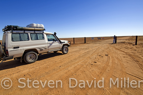
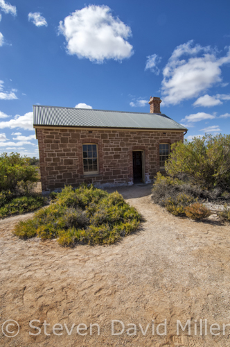
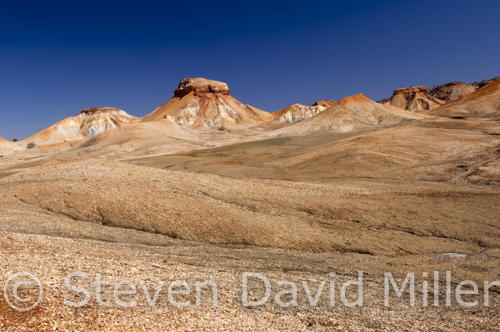
The Dog Fence at Mullorina, Historic Cottage at Coward Springs, the Painted Desert on/near the Oodnadatta Track. © Steven David Miller
 |
 |
 |
The Oodnadatta Track (From an article for 4X4 Australia magazine)
Marree is at the southern end of the Oodnadatta Track, and the tiny town is worth a look around, especially since some of the historical features of the track can be seen in “town”. If it is July and the Marree International Australasian Camel Cup is on, don't miss it. Fill up with fuel and pick up a copy of The Travel the Oodnadatta Mudmap and Route Notes; these correspond to a number of round, pink signs along the way. Head north up the Oodnadatta; this track, like the Birdsville and the Strzelecki, was once an Aboriginal trading route and indeed home to many groups who lived along the chain of mound springs bubbling up along the rim of the Great Artesian Basin. John McDoual Stuart journeyed along it between 1860-62 plunging north toward Finke. The Overland Telegraph Line was plotted in 1871 along Stuart's route. Ernest Giles was next in 1876, and in 1890 the Old Ghan Railway was linked on from Adelaide to Marree to Oodnadatta. When you follow, there will be numerous historic sites to stop at along the way, making the journey either a short one or a long one. Expect sandy conditions, heavy corrugation and sharp rocks through rough floodways.
A track to Hergott Springs is within the first kilometre; this is followed by hundreds of springs branching north. At 3km is the 51km track to Muloorina Campground, a fabulous spot to spend a couple of nights. A 45km, a very rough track continues to the edge of Lake Eyre; leave the campertrailer at the campground if attempting the track (this adds up to 192km to the trip so either return to Marree for fuel or be sure you have enough to make it to William Creek). Excluding the track to Muloorina in this kilometre count, continue along past the floodways and historic siding ruins of Callanna, Wangianna and Alberrie. The turnoff on Borefield Road to Roxby Downs is on the left at 69km and Screech Owl Creek floodway follows in 4km. At 92km is an information bay and lookout for Lake Eyre South; stop to gaze over a massive pan of sparkling white, or if you are lucky, a lake with water in it. The Curdimurka and Margaret railway sidings follow. It would be a crime to miss the Wabma Kadarbu Conservation Park at 126km to see the Blanche Cup and The Bubbler mound springs. Another 6km brings you to the Coward Springs Campground, a superb spot with an artesian spa, a wetland, an historic siding complete with a restored cottage and Ghan museum and camel treks. A night or two here is a must. More historic sites continue with Beresford Bore Siding and Strangeways. The ABC-Halligan Bay Track enters on the right at 198km; this is a 64km, strictly 4WD-only track to Lake Eyre: a Desert Parks Pass is required or a daily permit from the William Creek Hotel that is 7km further at 205km. Fuel is available at William Creek along with camping, meals, camel tours and scenic flights. The pub's ceiling is festooned with ladies' undies, some of them naughty. The William Creek Road enters 5km further on the left with a rough 168km west to Coober Pedy.
The Oodnadatta deteriorates after William Creek, use caution through the floodways. More historic sidings follow with Edwards Creek (294km), Warrina and Algebuckena at 348km with a parking pullout and rest area near a railway bridge and siding. The track to Allendale enters on the right at 387km. The Hanns Creek floodway is followed by the North Creek floodway at 369km, a nice camping alternative to Oodnadatta. The track splits at 401km, turn right and Oodnadatta is at 407km. Fill up with fuel and whatever supplies are available.
The actual Oodnadatta Track continues for 211km to Marla, but a much prettier route is via the Painted Desert to Cadney Park on the Stuart. Linger through the magnificent scenery near Arckaringa, and if possible spend a night camping at the homestead to enjoy a sunset or sunrise over the desert. The precise directions are: turn west 6km south of Oodnadatta on the road to Coober Pedy. Travel southwest for 45km, turn right and continue toward Arckaringa and through the Painted Desert for 41km. Veer right toward Stuart Hwy and continue 34km, turn right toward Copper Hill and Cadney Park, continue for 36km then make a sharp right with 12km to the Stuart Hwy.
From the Stuart it is either a right or left hand turn. Regardless of your intended direction, this journey up the Oodnadatta Track is one you will never forget. I wish I were there now.
© Linda Lee Rathbun
*For more information visit The Outback Travellers Track Guide website at www.outbacktravellers.com.au. For complete tour information and trip notes please see the Oodnadatta Getaway in our Explore Australia 4WD Australia: 50 Short Getaways book (http://www.exploreaustralia.net.au/Bookshop/Guides/Four-wheel-Drive /4WD-Australia-50-short-getaways-2nd-ed).
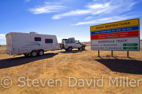
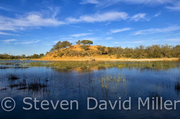
Remote Area Warning Sign, Attending the Camel Races, Mungeranie Wetland on the Birdsville Track, South Australia. © Steven David Miller
 |
 |
 |
The Birdsville Track (From an article for 4X4 Australia magazine)
If you find yourself in Birdsville after crossing the Simpson Desert, or after driving south or west from the Diamantina, then it would be a shame to skip the Birdsville Track. In the past, cattle were driven along routes fanning out across the top of Australia and feeding down through the Channel Country, considered some of the best "fattening up" land in the world. At Birdsville, these routes drew into one for a final 500km push to the railhead in Marree where cattle trains transported the beasts to Adelaide and Melbourne. By opening up this old Aboriginal trading route in 1870, drovers with their horses and dogs led an isolated life over the following century under a relentless blue sky that was dusty, hard and free from all our modern inconveniences. To water the drovers and cattle, bores were sunk into the Great Artesian Basin. The drovers and their families took up leases along the track that they still hold to this day. Afghan traders leading camel trains also used this track and the Oodnadatta to supply those families. The mail run from Marree to Birdsville, along the Inside Track, was one of the most gruelling in the land with, among others, a mailman known as Tom Kruse. The Birdsville, then, helped to build the nation.
Before heading off, top up your water tanks and jerry cans at the Birdsville Caravan Park. Stock up with whatever goods are available at the two small stores and do not forget a visit to the Birdsville Bakery. For experienced 4WDrivers with full emergency gear and only towing a true offroad camper-trailer or tenting it, the Inside Track offers more of a challenge along the same mail run mentioned earlier. Check on conditions at the Information Centre and/or the ranger's office and carry The Outback Travellers Track Guide Series 1/Track 3. Otherwise, head down the main track to the racecourse and Betoota junction and continue straight. Use extreme caution through the dunes as oncoming vehicles are not visible. At 30km is the Pandie Pandie airfield, you have crossed the border into South Australia and watches should be set forward by 30 minutes. Take it easy through floodways and over cattle grids; the Walkers Crossing track enters on the left at 124km and 14km further is Lake Surprise Creek, a nice spot for a rest. The Inside Track enters on the right at 183km (do not expect to see a sign for this); the Warburton Track also enters on the right at 208km. After that, it is a fairly easy run with several floodways and the Mirra Mitta bore wetland to brighten the scenery. And then there is Mungeranie at 317km, a delightful spot for one of those one-night stands that easily turns into two or three. The pub serves great meals and the artesian spa will melt away those rattled bones and muscles. Birdlife abounds, including a family of brolgas, flocks of corellas and migratory waders dropping by for a feed. Mungeranie has to be the highlight of the entire track.
Fifty-eight kilometres west of Mungeranie is Kalamurina Station, now owned by the Australian Wildlife Conservancy. Limited camping with no facilities may be available along Warburton Creek from early June through late August. Ask at Mungerannie or ring 08 8675 8310, www.australianwildlife.org-.
Picking up the track again, at 356km is a short jaunt on the right to the Old Mulka Ruins. One of those historic families, the Scobies, ran cattle and bred whalers here, the breed of horse that was used by diggers in the 1917 Australian Light Horse Brigade. Further south at Clayton Station, one of the grandsons still breeds and trains those horses. The Cooper Creek Floodway starts at 377km and continues for 5km along a section of track that is impassable in rain and flooding. Take it easy through the following floodways until Clayton Station at 469km. Even if you don't camp here, stop for a look at the Clayton River Wetland about 500m west of the campground and maybe take some time for an artesian hot tub. A failed date farm at Lake Harry is on the left at 492km and Marree is at 522km.
In the past, the greatest delight about visiting Marree was staying at the Drovers Rest Tourist Park and having a yarn with the owner, Eric Oldfield. Eric was a legend on the Birdsville; he was a drover for many years and once owned Mungerannie. The Oldfields, along with the Scobies, were as much a part of the track as the landscape. Eric died late in 2010, and Marree will never be the same.
Marree is worth a look around, and that won't take more than an hour or so; the pub serves a great steak sandwich. If it is July and the International Australasian Camel Cup is on, don't miss it. It is likely that you will run into members of the Oldfield and Scobie families mentioned earlier; at the very least, you’ll have a great Outback experience. From Marree you can continue northwest to do the Oodnadatta Track, watch for our next posting for more on that.
© Linda Lee Rathbun
*For more information visit The Outback Travellers Track Guide website at www.outbacktravellers.com.au. For complete tour information and trip notes please see the Birdsville Getaway in our Explore Australia 4WD Australia: 50 Short Getaways book (http://www.exploreaustralia.net.au/Bookshop/Guides/Four-wheel-Driving/4WD-Australia-50-short-getaways-2nd-ed)
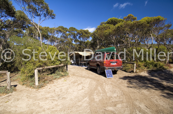
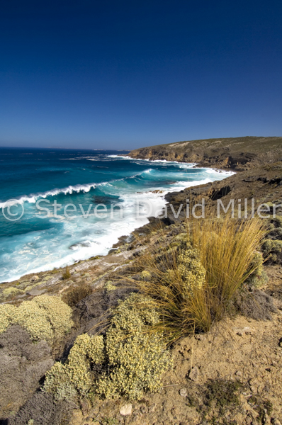
Memory Cove Campground, Memory Cove Road Lookout, Memory Cove in Lincoln National Park, South Australia. © Steven David Miller
 |
 |
|
Lincoln National Park by 4WD (From an article for 4X4 Australia magazine)
The Eyre Peninsula forms the eastern curve of the Great Australia Bight and its southern-most point faces the mayhem of the Southern Ocean. Near Port Lincoln, where flannel-shirted millionaires harvest tuna, lobster and shrimp, the Jussieu Peninsula clings tenuously to the mainland while reaching into the Spencer Gulf. For the 4WDriver, Lincoln National Park offers some interesting exploring. And speaking of explorers...In 1802, Mathew Flinders was one of the first white Europeans to map the Eyre at the tender age of 28, though of course the area was already well known to the Aboriginal people who had inhabited it for many centuries. Keep young Mathew in mind as you explore Lincoln NP, because one of the great tragedies of his sea voyages happened at Memory Cove.
To visit the national park, first stop at the Port Lincoln Visitor Information Centre to purchase a pass. Memory Cove should be included in every 4WDriver's visit, so collect a key to enter the Memory Cove Wilderness Area. There are only five small campsites there, these must be booked in advance and if time and the weather allows, it is a nice spot for a night or two. Also, pick up the self-guided drive brochure and any other information available on Lincoln NP. Be sure to ask about the Sleaford Wanna Dunes track if you intend to attempt this as up-to-date advice is essential.
Lincoln NP can be entered via Proper Bay Road, buy a pass if you do not already have one. Experienced sand and dune drivers with full emergency gear travelling in a convoy of at least two vehicles can continue south to Sleasford Bay Road and turn east into the park via the Sleaford Wanna Dune Access Track. The dunes are constantly shifting, so it can be tricky to find the markers. The dune track sweeps behind the shores of Sleaford Bay and connects with an unsealed road to Wanna.
From the main entrance, drive 7km into the park then veer right onto a rougher road. The road to Wanna enters at 13km on the right with access to the dune track, to Cape Tournefort and to a loop that connects back at the Memory Cove Gate. Veer left and continue to the gate at 18km. Enter and close the gate, the track narrows with a 30km/h speed limit: watch for oncoming vehicles, wildlife on the tracks and sand blows. The self-guided brochure corresponds to a number of posts pointing out flora, fauna and historical facts. At 26km is a short track with a turnaround to the Jussieu Bay and Curta Rocks lookout, use binoculars to watch seabirds and marine mammals around the rocky isles below. There is another track to a lookout (with parking and a turnaround) at 33km; from here, an old driving track is now a three-hour return hike to the West Point cliffs. This hike is best done from a base camp at Memory Cove. The Williams Island lookout track is at 37km, on a clear day you can see Williams and a number of other offshore islands. The Cape Catastrophe Lookout is at 38km and the Memory Cove day use area and campground is at 42km. Be sure to take the beach walking track to the memorial tablet erected by Mathew Flinders. This pays tribute to eight of his crew members who drowned when their cutty capsized in a search for fresh water ordered by Flinders. Flinders was devastated by the event and gave Cape Catastrophe its name; he also named eight offshore islands for the men who perished there. About 30m to the right is a rocky outcrop used by whalers as a note board to leave messages for other boats. After a good look around or a night of camping, backtrack for 34km and turn right to Cape Donington.
The unsealed road through to Cape Donington is easy; the main highlights are pretty beaches along the northern shores and cliffs standing guard over the eastern coast. Numerous walking tracks, detailed in the Lincoln NP Bushwalking brochure, branch off in all directions. A number of campgrounds, some with facilities and some without, dot the shoreline. At 10km from the turnoff is a 7km road on the right heading to Taylors Landing with a campground, a boat ramp and views out to those same islands named by Flinders. Watch for migrating Southern right whales from June to October. At 12km is a 6km road on the left to Surfleet Cove and a campground near the water. A 4WD-only track follows at 14km with a left to the inner shores of Spalding Cove, and at 15km is another 4WD track on the right to MacLaren Point with secluded bush camping. Stop for a look at Fishermans Point at 19km followed by a 4WD track on the right to Carcase Rock with yet more bush camping. September Beach with a campground on the right follows; a track on the left leads to Donington Cottage, the old lighthouse keeper's lodge that is now available to rent. Cape Donington itself is at 24km, rising at the northeast tip of the park with a lighthouse that still serves to guide ships making their way through a network of islands and reefs into the Spencer Gulf. A coastal bush camp is to the left.
All of these spots are well worth a look; Lincoln NP can eat up a full day--and several more depending on how much you want to see, how long you want to camp and how far you want to walk. For more challenging 4WDriving in the area, don’t miss Coffin Bay National Park (see the previous posting).
© Linda Lee Rathbun
*For more information visit National Parks South Australia at http://www.environment.sa.gov.au/parks/home.For complete tour information and trip notes please see the Lincoln National Park Getaway in our Explore Australia 4WD Australia: 50 Short Getaways book (http://www.exploreaustralia.net.au/Bookshop/Guides/Four-wheel-Driving/4WD-Australia-50-short-getaways-2nd-ed).
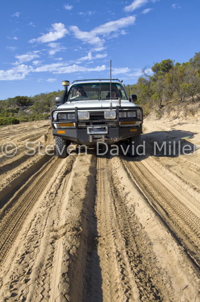
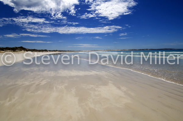
Gunyah Beach, Seven Mile Beach, Sensation Beach at Coffin Bay National Park, South Australia. © Steven David Miller
|
|
 |
 |
Coffin Bay National Park by 4WD (From an article for 4X4 Australia)
The Eyre Peninsula forms the eastern curve of the Great Australia Bight and its southern-most point faces the mayhem of the Southern Ocean. To the west of the Eyre, the Coffin Bay Peninsula kicks into that ocean with surf-ravaged beaches to the south and bay side coves to the north. For the 4WDriver, Coffin Bay National Park offers unparalleled driving.
After stocking up on all supplies in Port Lincoln, and visiting the information centre for brochures and advice on Coffin Bay NP, head west on the Flinders Hwy to Coffin Bay. Pick up a tide table at the Beachcomber Deli and plan the drive to Gunyah Beach on a low tide. The drive to the western end of the park involves traversing Seven Mile Beach up and back: time these for about three hours either side of a low tide giving you about six hours to explore the northwest end of the park (or you can camp over for a night or two).
The southeast end of the park can take up a half to a full day, depending on if you attempt the dune drive out to Gunyah Beach. If you are towing, set up camp at the Coffin Bay Caravan Park or at Yangie Bay and leave that van or camper-trailer behind. The Gunyah Beach turnoff is on the left at 9km beyond the entrance to the park. Pull off the sealed road and stop to engage 4WD and to drop your tyre pressure for sand dune driving. Tall wooden poles painted red at the top mark the track, stay between these for the 4km to the beach. You may drive along the beach for 3km to the east or west of this point, beyond that is a protection zone for seabirds. Note that the sand is soft and vehicles frequently become bogged. Exit the beach from the same point where you entered it, backtrack to the main road and turn left. A few kilometres past the Gunyah turnoff is the Templetonia Lookout on the right with a walking track to views of Kellidie Bay, Mount Dutton Bay and Yangie Bay to the north. At 5km is a T-junction, turn left on the sealed road. A 4WD-track to a boat ramp enters on the right, then the Golden Island Lookout and car park is at 11km. This affords superb views of the Whidbey Isles Conservation Park and of the marine life swimming below. A walking track provides access to Almonta Beach, which has excellent shore fishing. Almonta is simply the western end of Gunyah Beach.
After this short exploration to the southeast, allow a full day to explore the north end of the park. Again, vans and camper trailers should be towed no further than the Yangie Bay Campground. It is 14km from the entrance to a T-junction, turn right and continue for 1km where the road becomes unsealed. Stop to engage 4WD and lower your tyre pressure for the sandy, rutted tracks ahead. This is Yangie Bay and a good place to start a kilometre count at zero. At 2km is a track to bush camping on Yangie Bay and at 3km is Lake Jessie on the right with sand dunes rising to the left. Lake Damascus follows on the left at 11km and at 13km is a track on the right to the Black Springs Campground. This makes a nice base camp near a sheltered beach and also offers a 1km bushwalk to a well and a 6km hike to the Black Rocks Lookout.
Take it easy around the 19km mark since the track is prone to flooding here: drive straight through the middle, not along the edges. The track bends to the left at 21km, entering Seven Mile Beach. On a calm day, the water is like a sheet of blue glass with towering dunes of pearl-white sand rising near the shore. Stay between the high and low tide mark and note that clusters of dried seaweed often indicate soft patches of sand. Be especially careful through the limestone flat at 27km and watch for the track to Sensation Beach entering at 29km; turn left and stay left following the signs to Sensation Beach. There are ruins in this area from the old station horse yards, and then the landscape changes to marshland. Watch for oncoming traffic through the dunes; the beach is at 36km and it is indeed sensational. This borders the Whidbey Wilderness Area with a multi-day hike, an information bay and bush camping.
After a bit of a walk on the lonely beach, backtrack for 5km and at 41km turn left to Point Sir Issac. Continue past the Ranger's Hut then branch left again at 43km to Reef Point Lookout, which will be at 51km. A walking track leads down to a beach with a network of protected rock pools that make for great snorkeling or a reef walk at low tide. Watch for migrating Southern right whales from June to October. Reef Point is also a perfect spot for a picnic lunch. Backtrack for 8km and at 59km turn left to Point Sir Issac. A 1km track to Mullalong Lookout and Mullalong Beach enters on the left at 66km, this is worth the short drive, which brings you back to the same point now at 68km. At 70km the track forks: it is 1km to Point Sir Issac with a functioning lighthouse and a cove on the right that is a popular playground for dolphins. Return to the fork (72km) and continue along the coastline. The Pool Campground is at 73km followed by gorgeous Phantom Cove at 75km. The track sweeps inland for a while, stick to it like glue as there is a sinkhole on the right followed by Whalers Well, which is now capped, and then by Burgess Hut built in the 1880s during a failed attempt to tame and graze this harsh land. Veer left at 81km to Morgans Landing and the campground at the western end of Seven Mile Beach. If you are caught on an incoming high tide, this is a good place to wait it out until you can safely make it back along Seven Mile Beach with 30km of driving to our start at Yangie Bay.
Driving and camping in Coffin Bay NP, especially outside the school holidays, is as good as it gets for the experienced 4WDriver. It is about the scenery and the way wind-ravaged cliffs and towering dunes face the Southern Ocean while protected bays and coves offer waters as calm as a lullaby. Go there soon.
© Linda Lee Rathbun
*For more information visit National Parks South Australia at http://www.environment.sa.gov.au/parks/home.For complete tour information and trip notes please see the Coffin Bay National Park Getaway in our Explore Australia 4WD Australia: 50 Short Getaways book (http://www.exploreaustralia.net.au/Bookshop/Guides/Four-wheel-Driving/4WD-Australia-50-short-getaways-2nd-ed).
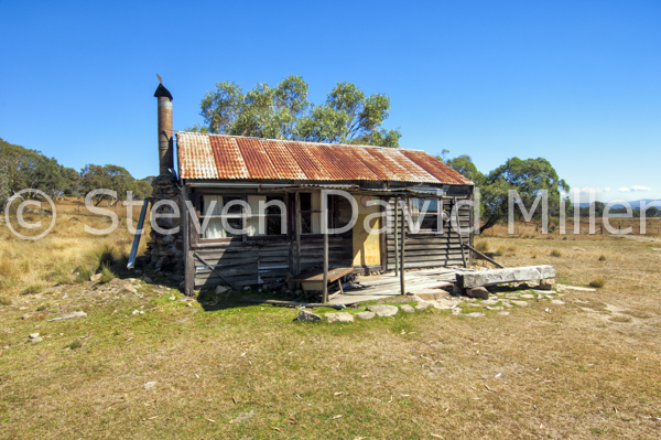
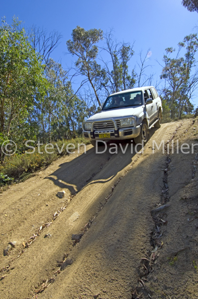
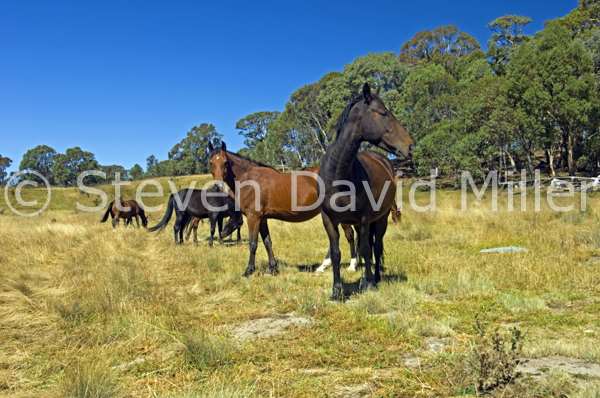
Rabbiter's Hut, Rollercoaster Track, Snowy Mountain Brumbies at Snowy Wilderness, New South Wales, Australia. *Posted March 29th, 2015.
 |
 |
 |
A Snowy Wilderness Tagalong (From an article for 4X4 Australia magazine)
Do you ever feel like a 4WD outcast, unwelcome and unwanted in places where you once roamed free? Well, at Snowy Wilderness, a 7,200 acre property wedged between Kosciuszko National Park and the Snowy River, you are welcomed with open arms. Close the gate behind you when you arrive, and the realities of the outside world stay outside. As you bump your way along the private track, you are likely to encounter a herd of wild brumbies gazing at you with big brown eyes and swishing long, black tails. At the horse stables, where the riding horses live, is the heritage woolshed/reception where you will check in and discuss your designated activities, then you’ll be led by 4WD to your private, secluded, high-country campground (or accommodation). At the campground, you can roll out your swag on a cot under a bush shelter, settle into a seat by the firepit, take a warm bush shower and if you please, sit and chat with one of the staff while they prepare a camp-oven or BBQ dinner for you. A short walk along one of the self-guided tracks is surely in order if time allows, and once it is dark, star gazing under a black velvet canvas painted with a million twinkling dots is mandatory.
The next day, it is time to do some four-wheel driving. If the budget allows, you will already have booked a tagalong tour on the Snowy Wilderness property ranging from two hours to two days. If the budget is tight, never fear because the Barry Way is near. This astonishingly beautiful scenic drive drops down from just outside the property to the Victoria border, and at about 82km return, it is an easy 4WD journey everyone should do at some stage. At Snowy Wilderness there are more serious tracks to satisfy every level of experience and skill, but they are all tagalong tours. You can mix & match a variety of guided activities such as bushwalking, horse riding, quad biking and fly fishing. In fact, everyone in the family can pick an activity, keeping everyone happy and leaving you free to grind up some dirt.
And grind you will. Some of the more moderate tracks lead up to alpine meadows strewn with massive granite boulders; in fact, the charming, one-bedroom stone cottage was made from these very rocks. There is the historic Rabbiter’s Hut, still standing after one hundred years. Here, you are likely to find a mob of wild brumbies rescued by the owners; some descended from Snowy Mountain brumbies, some from wild walers. There are gullies to explore where you’ll drop down into low range to cross creeks strewn with yet more rocks. On a hot day, you can park and wander upstream for a swim by a waterfall. Towards the east end of the property, things start to get interesting--very interesting. The name says it all, and though your guide will warn you, even the most experienced driver will be white-knuckling it on the Roller Coaster track as you climb up, up, up a flight of wide “steps” to the Tuppits with a panoramic view taking in Mount Perisher to the west and Mount Carlisle to the east; and then drop down, down, down to a valley and, if you have arranged it, an overnight camp with a catered gourmet dinner and breakfast beside the Snowy River or Gully Lake.
So, gather up your family and/or a mob of mates and get yourself to Snowy Wilderness because if the Man from Snowy River had had the sense to travel by 4WD, this is where he would have gone. Whether you arrange a tagalong tour for one or for a parade of 4WDs, or whether you just camp on the property and do the Barry Way, you really can’t go wrong. If you love it as much as we did, you’ll soon be back for more.
© Linda Lee Rathbun
*For more information visit http://www.snowywilderness.com.au
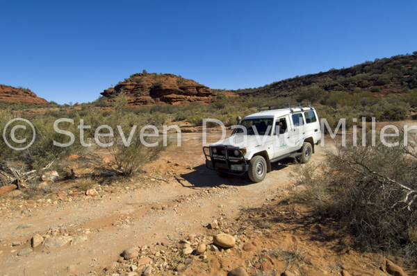
4WD-Only, Kalarannga Lookout, Palm Valley in Finke Gorge National Park, Northern Territory, Australia. © Steven David Miller
 |
 |
 |
Picture-perfect Palm Valley (From an article for 4X4 Australia)
Alice Springs just might be the best town in Australia for 4WDrivers with its nearby tracks ranging from moderate to seriously extreme. One of the best has to be the 25km drive from Hermannsburg to Palm Valley in Finke Gorge National Park.
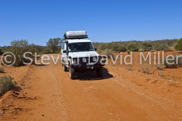
Turn south off Larapinta Drive and at the information sign stop to drop your tyre pressure and engage 4WD. At 4km there is a short, sandy loop on the left with panoramic landscapes. Within another km you’ll be driving beside the Finke River with gorge walls to the left; after 3km you’ll cross the rocky river bed where the Finke can rise from bone dry to a height of 7m. Take care over the grid at the national park boundary as it is electrified to keep out horses. Continue 2km and veer right, leaving the Finke River to travel along Palm Creek for another 2km; watch for the Kalarranga Lookout on the left with a parking area. The information bay describes two walks: the 1.5km return Kalarranga Walk and the 5km return Mpaara Walk. At the very least complete Kalarranga with its magnificent vistas.
The Palm Valley campground is next at about 1km and it too includes a walking trail. In fact, some members of the family may prefer to walk along the creek bed into Palm Valley while the 4WDriver negotiates the last 5km of underbody-scraping river rock. The Day Use Area (1km along) provides parking, an information bay, toilets, picnic tables and a place to leave trailers which are not permitted beyond this point.
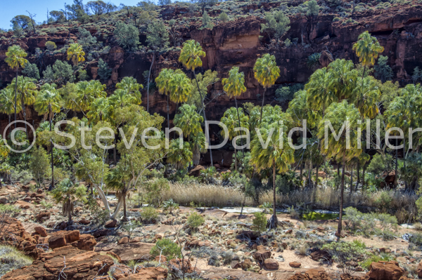
From the Day Use Area, walkers can simply enjoy the scenery. Drivers will have to keep their eyes glued to the “track”, carefully picking their way along the uneven surface that drops abruptly here and there providing numerous opportunities for some serious axle damage. Pay particular attention to the marker posts and stay within these at all times. When it is safe to do so, have a look at the groves of endemic cabbage palms to the right for it is these that give the valley its name. The track ends with a parking and information bay. Don’t pass up the 2km Arankaia (circuit) Walk up to the top of the gorge and if time allows, the 5km Mpulungkinya Walk is also outstanding. This is such a picture-perfect area that, if you are lucky enough to be spending a night or two at the campground, it is well worth doing as many of the walks as possible.
Speaking of picture-perfect, either on the way in or on the way out, take an hour or so to visit the historic Hermannsburg Mission where Albert Namatjira (the artist) lived. It doesn’t take an art expert to recognize how deeply Namatjira was influenced by the splendid landscapes in the area. A visit to Palm Valley will leave you in no doubt as to why Namatjira was, and the Arrerente people are, so connected to their country.
© Linda Lee Rathbun
*For more information visit the Parks and Wildlife Commission NT at www.parksandwildlife.nt.gov.au- or the Tourism Central Australia Visitor Centre in Alice Springs.For complete tour information and trip notes please see the Palm Valley Getaway in our Explore Australia 4WD Australia: 50 Short Getaways book (http://www.exploreaustralia.net.au/Bookshop/Guides/Four-wheel-Driving/4WD-Australia-50-short-getaways-2nd-ed).
Lake Ballard Statue, Menzies Road, Saying Hello at Lake Menzies, Goldfields, Western Australia. © Steven David Miller
|
|
 |
 |
The Sculpted Beings of Ballard (from a story for Caravan World Magazine)
Could it be that in 2003 a party of 51 extra-terrestrial beings landed on the remote salt bed of Lake Ballard, and indeed were turned to black pillars of salt as punishment for some biblical misdeed? Or, could it be that the Perth International Arts Festival commissioned a wildly creative project by the artist, Antony Gormley, leaving behind an art-legacy, titled Inside Australia, of 51 carbonized steel statues rendered from the full-body lazar scans of the citizens of Menzies? While your mind will confirm the latter scenario, your imagination will prefer the former. As a matter of fact, the statues conjure up all sorts of explanations: perhaps they are the dark ghosts of the hundreds of miners who perished searching for gold in the region. Perhaps they are dreamtime ancestors wandering a landscape they could not bear to leave. Without doubt, the statues of Lake Ballard are not to be missed by anyone visiting Kalgoorlie and the Western Australian goldfields.
For the caravanner with a 4WD, there are a couple of options for taking in this “must-see” (a travel cliché if ever there was one) destination. One can leave the van in Kalgoorlie and do the 370km round trip in a day. Keep in mind that the 110km return from Menzies to the lake is unsealed and more time will be required to negotiate this safely. Another place to leave the van is at Goongarrie, 105km north of Kalgoorlie, leaving another 55km to Menzies. The campground is at the homestead of a former sheep station, now a conservation reserve. Last but not least, drive the van to Menzies and leave it at the small caravan park near the hotel. This will give you plenty of time to meet all the statues at Lake Ballard in the early morning or late afternoon (considered prime viewing times) without having to race to or from Kalgoorlie. The hotel serves meals, and if you shout one of the locals a beer, they might tell you the tale of how they became immortalized as one of the statues.
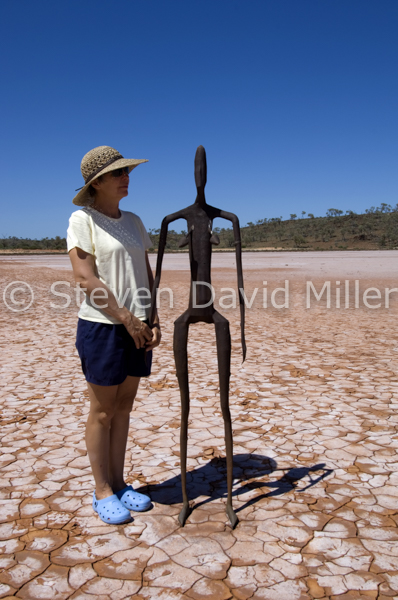
So, with a packed lunch, plenty of water, sun protection and suitable footwear, it is on to Lake Ballard. The wide, unsealed road from Menzies has some corrugation, dust, floodways, cattlegrids and numerous bends that should be taken at an easy speed. There are plenty of signs to indicate the way, and after about an hour, there you are, parking near a posting that advises you about the statues along with a few cautions. Put on your waterproof shoes (we found crocs to be perfect), your thermonuclear protection (sunglasses, hat and cream) and a backpack with plenty of water. After a short walk, you’ll be carefully making your way along the shimmering surface of a salt lake, breaking through the thin, white crust to the mud underneath. The footprints of previous visitors add to the impression that aliens have landed; there are even the footprints of dingoes. Spread out over seven square kilometres and at about 750 metres apart, the statues stand on a dead-flat landscape. Don’t make the mistake of thinking that you can spend half an hour here and be satisfied. There is something about each statue that, having met the one, you feel you must go and say hello to the other. Here is a woman, middle-aged and a bit stooped, but with plenty of life still in her. There is a man with a bit of a pot belly and plenty of tales to tell of too many rounds at the pub. A child, too, wanders along and you feel the urge to unite him with his parents. They cannot come to you so you must go to them. For proper introductions all around, allow at least two hours.
What are these, really? According to the artist who conceived and rendered them, they are “cast alloy of iron, molybdenum, iridium, vanadium and titanium; 51 elements based on 51 inhabitants of Menzies.” Apparently, many of the citizens were a bit suspicious when Antony Gormley turned up with his full-body scanning machine, asking people to strip naked for him and his machine (an original line, don’t you think?). Yet, upon viewing the statues of themselves, reduced to 2/3rds, those same citizens now take great pride in their participation. While Gormley’s artistic intention seems as unfathomable as the surrounding landscape, and while many critics wondered what a British artist would know about it anyway, any traveler who has driven for days on end across the vastness of Western Australia will see instantly that he got it right.
After a good look around (it’s a long way to come back to so there is no point rushing), head west for another kilometre to the Snake Hill Lookout for an expansive view of where you have just been. An information board reveals that on the rare occasions that Lake Ballard floods, it becomes a frenzied breeding ground for banded stilts. No one can be sure what the stilts thought of the statues when the lake flooded in 1995. Take it easy on the drive back to Menzies and stop in at the service station to add your comments to the guestbook. It’s strange, but you’ll find that that mob of beings poised in the white terrain will stay in your memory forever and, over that glass of wine and some nibbles, you’ll be sharing your Lake Ballard adventure with fellow caravanners for years to come.
© Linda Lee Rathbun
*For more information visit http://www.goldenquesttrail.com/lakeballard.asp. For complete tour information and trip notes please see the Lake Ballard Getaway in our Explore Australia 4WD Australia: 50 Short Getaways book (http://www.exploreaustralia.net.au/Bookshop/Guides/Four-wheel-Driving/4WD-Australia-50-short-getaways-2nd-ed).
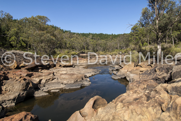
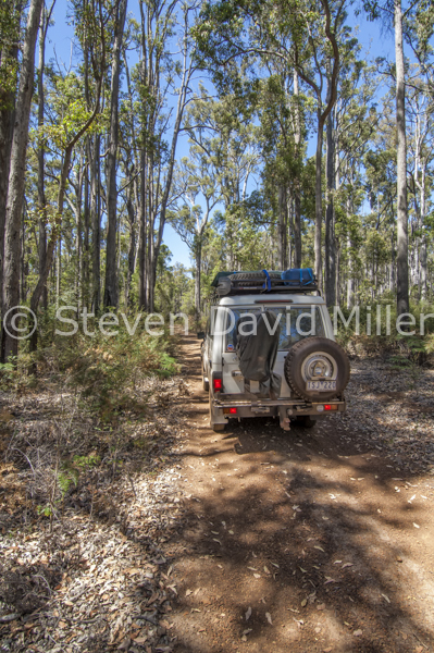
4WD on Nanga 4x4 Heritage Circuit, Murray River in Lane Poole Reserve, Western Australia. © Steven David Miller
|
|
 |
 |
A Heritage Weekend in Dwellingup (From a story for 4X4 Australia magazine)
So you are in Perth and you want a quick 4WD getaway. Look no further than the charming forest village of Dwellingup nestled under towering jarrah trees. Once a timber town, Dwellingup was incinerated in 1961 when 26 lightening strikes ignited an inferno that also eliminated the mill town of Nanga. Today, it’s all about the heritage of the area, and with Lane Poole Reserve to the south offering a number of water-based activities on the Murray River, Dwellingup has a lot to offer. Start with a visit to the information centre to pick up a copy of the Nanga 4X4 Heritage Circuit trip notes, a must to avoid getting lost in the spider web of tracks. The Forest Heritage Centre is worth a look around and if you like camping with creature comforts, then the Dwellingup Chalets & Caravan Park is the place to stay. For a more basic camping experience, Lane Poole offers a number of excellent campgrounds along the river. Baden Powell and Chuditch are great for tents and camper-trailers; Nanga Mill is better for caravans (pick a site by the river).
With something for everyone in the family to do, the 4WDrivers can set off knowing they won’t be keeping anyone waiting. From Dwellingup, the road becomes unsealed about 9km into Lane Poole near the Baden Powell Campground; continue by following the signs toward Nanga Mill, travelling about 12km along an extraordinarily scenic drive. The circuit (and trip notes) start at Dingo Road where you should stop to engage 4WD and set your odometer at zero before turning right. Follow those trip notes like a bible, and do take the time to stop and examine the numerous heritage sites. There will be old trestle bridges tucked high up in the tree canopy along with decaying timber tracks and tramways bisecting your pathway. In some sections, the track narrows to a corridor of branches and the odd deep pothole filled with water can get you into strife if caution isn’t used. Watch for wildlife: emus are sometimes seen bolting down the track in front of your 4WD as if leading a convoy. After about 39km you’ll veer right onto King Jarrah Form and you will need to watch carefully for markings carved into tree trunks and stumps. You’ll cross the King Jarrah Walk Trail and after another 6km the circuit ends and you will return on Dawn Creek Road.
For another 4WD adventure, try the Captain Fawcett Commemorative 4X4 Track running south for 105km from Dawn Creek Road to Quin Danning Inn near Boddington; trip notes are available at Dwellingup information centre.
And what else is there to do? When it is warm, rafting/canoeing/swimming/fishing on the Murray River is great fun. The 1,000km-long Bibbulmun Track traverses the reserve along with many other walking tracks. For mountain bikers, there is a 10km loop and also a section of the Munda Biddi Trail. It is fun, it is pretty, and it is nearby. So pack up those toys and head southeast of Perth for a weekend getaway that you will want to return to again and again.
© Linda Lee Rathbun
*For further information visit http://parks.dpaw.wa.gov.au/park/lane-poole-reserve. For complete tour information and trip notes please see the Lane Poole Reserve Getaway in our Explore Australia 4WD Australia: 50 Short Getaways book (http://www.exploreaustralia.net.au/Bookshop/Guides/Four-wheel-Driving/4WD-Australia-50-short-getaways-2nd-ed).
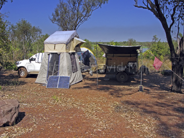
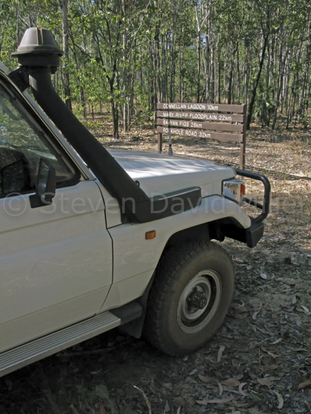
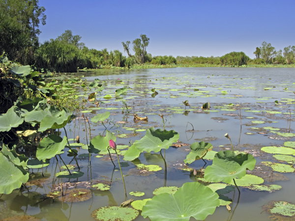
Couzens Campground, Wildman Track, Rockhole Billabong in Mary River National Park, Northern Territory, Australia. © Steven David Miller
 |
 |
 |
Mary River 4X4. (From an article for 4X4 Australia magazine).
So, you are in the Darwin area and you want a 4WD quickie. There can be no better place for this than Mary River National Park with two very satisfying 4WD tracks: the Wildman and Hardies.
It is all about the Mary River here with a catchment that embraces lily-studded wetlands, billabongs throbbing with wading birds and crocodiles, monsoon and paperbark forests laced with parrots and fruit bats, and a chance to just relax and have a great Top End adventure.
If you enjoy your 4WDriving with a bit of comfort, then Mary River Park offers outstanding camping and cabins. Bark Hut Inn, a roadhouse, also has camping and accommodation as does Point Stuart Wilderness Lodge. If bush camping is more your style, then Couzens Campground and Shady Camp both offer sites (toilets only). At Couzens you can join a Mary River Wetlands Cruise from Rockhole Billabong and at Shady Camp you can hire a dinghy. For the historically inclined 4WDriver, Point Stuart Road continues past the Shady Camp turnoff and becomes an isolated 4WD-only track plundering north for 28km in the footsteps of John McDouall Stuart--followed by a 5km return trudge in the heat to the Stuart Memorial Cairn.
With so much to see and do, this is an area that is destined to become a favourite. Once you have set up camp, head for Wildman Road and the northern entrance to the Wildman Track. A sign is posted a short distance before the turnoff to the track, watch for this on the left. Engage 4WD at the gate, and if you haven’t already downloaded an information sheet, pick one up from the box. This will help you enjoy the scenery as you first cross Brian Creek with a small patch of monsoon rainforest. A pandanus forest follows with strands of paperbarks encircling shallow billabongs that may or may not have water in them. Connellan Lagoon (with a picnic area) surely will have water, and as the dry season progresses, the wildlife becomes more concentrated in these deeper channels. The track is soon enclosed by vegetation: be mindful of agile wallabies bounding across the road. Olga’s Waterhole generally has water, and as this opens up into vast floodplains, watch for flocks of wading birds and raptors such as the white-bellied sea-eagle: the lookout is a great place for this. Wetlands give way to bamboo groves and spreading banyan fig trees—soon you arrive at Rockhole which is the southern entrance to the track.
If you are bush camping at Couzens, then 39km Hardies Track starts along Rockhole Road. This is the same drill as Wildman with a few more creek crossings and a T-junction with a side trip to Hardies Lagoon and Corroboree Billabong.
That’s it: a bit of planning, a bit of stocking up and a whole lot of fun. Mary River: it’s what Kakadu was thirty years ago.
© Linda Lee Rathbun
*For further information visit www.nt.gov.au/nreta/parks → Darwin Region → Mary River NP. Check under the heading ‘Recreational Activities’ to download trip notes for Hardies 4WD Track and Wildman 4WD Track.
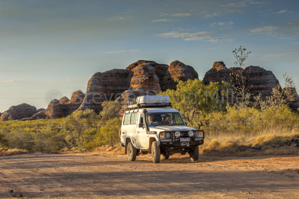
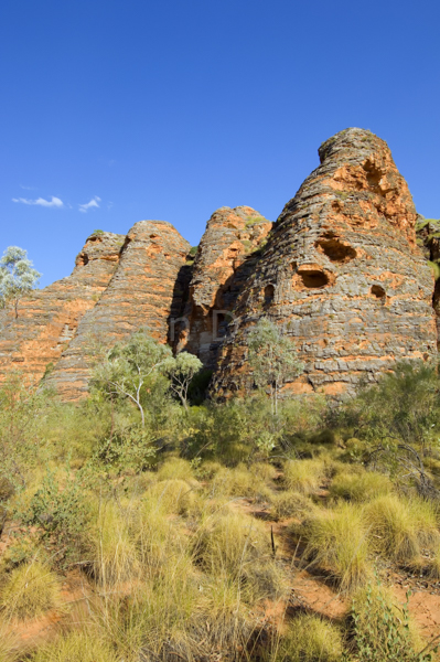
4WD at Bungle Bungle Range, The Beehives, Spring Creek Track at Purnululu National Park. *© Steven David Miller
 |
 |
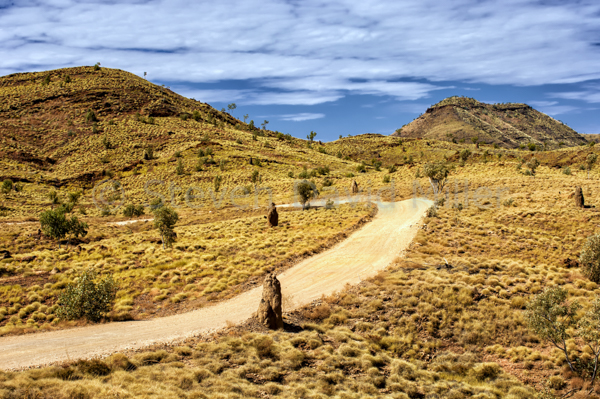 |
Punululu National Park in the Bungle Bungle Range. (Drawn from 4WD Australia: 50 Short Getaways)
They (the information centres in Kununurra and Halls Creek) will tell you that the Spring Creek Track into Purnululu (Bungle Bungle) National Park is the worst in the Kimberley. And it is true that the road in dips and sways and bends and drops through numerous creek crossings like a roller coaster in slow motion. However if you take it easy, and if you have a vehicle that is up to the task, this track is like driving through a landscape painting, and, the destination has scenery that you won’t soon forget.
Once in the park the road settles down to an easy ride. There are two basic campgrounds to choose from, and two private safari camps with accommodation and meals. Only true off-road camper trailers are allowed in (no caravans). Once you are set up, there are a number of things one should not miss.
To the north of the park is Walanginjdji Lookout with some of the best sunset views in the Bungle Bungle Range. Echidna Chasm is lovely, especially later in the morning when sunlight penetrates the high walls. Two nearby walks that can be done in the early morning, before it gets hot, are Mini Palms Gorge and Froghole Gorge. This northern section includes the Kurrajong camping area.
To the south of the park is the Walardi camping area and the two safari camps: East Kimberley Tours and Kimberley Wilderness Adventures. An airstrip provides a base for the Helispirit Helicopter Tours ranging from 18 to 42 minutes: a spectacular trip if the budget allows. Further along is the one walk in the park that would be tragic to miss, the short and easy Domes Circuit through some of the “beehive domes” that are the highlight of the park. Both the sunset and the sunrise here are amazing. Cathedral Gorge is also a worthwhile walk and for those who like multi-day hikes there is Piccaninny Creek and Gorge Track (this should only be attempted after consulting with the ringer at the visitor centre).
Aside from the walking and sightseeing, there is also a tremendous amount of birdlife. For the best place to find birds, look for the water taps in the campgrounds and safari camps: you are guaranteed of finding a number of species there. For some 4WDrivers, the track in is what makes Purnululu worthwhile; for others it is Purnululu that makes the track worthwhile. Either way, this park is a jewel in the Kimberley crown.
© Linda Lee Rathbun
*For more information visit the WA Department of Parks and Wildlife in Kununurra or online at www.dpaw.wa.gov.au/park/purnululu-. For complete tour information and trip notes please see Purnululu National Park and the Bungle Bungle Range in our Explore Australia 4WD Australia: 50 Short Getaways book (http://www.exploreaustralia.net.au/Bookshop/Guides/Four-wheel-Driving/4WD-Australia-50-short-getaways-2nd-ed).
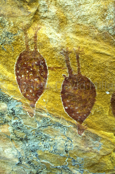
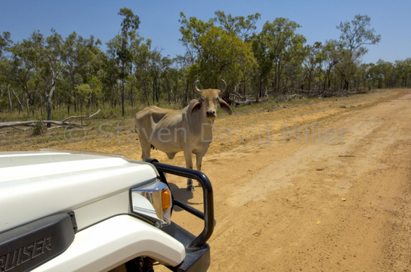
Track into Jowalbinna, Quinkin Rock Art, Olive Vale Station on Cape York Peninsula. © Steven David Miller
|
|
 |
 |
Jowalbinna: Where Rock Art & 4WDriving Connect. (From an article for 4X4 Australia magazine and from 4WD Australia: 50 Short Getaways))
At the core of every 4WDriver is an adventurer. These days, a true adventure is hard to find. This was not so in the 1950s when Percy Trezise, an Ansett pilot, would fly over the rugged terrain of southern Cape York and, with a bird’s eye view, would record likely rock art sites on his charts. Later, with his friend and collaborator Dick Roughsey, Percy would hike into those areas, finding numerous sites rich in Quinkan rock art. By gaining the trust of the local elders, Percy and Dick learned about the mysterious figures and their stories.
In the 1970s, Percy purchased a block of land where he could return again and again to favoured sites such as Emu Dreaming and Giant Wallaroo. His sons, Steve and Matt, grew up with the Quinkan rock art, understanding it in the same way the rest of us might know a beloved illustrated book. So, what does any of this have to do with 4WDriving? Well, today the Trezise family manages that same property, Jowalbinna, and luckily for us, they offer outstanding bush camping near a crocodile-safe stream and rock art tours with a depth of knowledge that is fascinating.
The perfect introduction to Quinkan Country is at the Quinkan & Regional Cultural Centre in Laura. Learn about the Kuku Yulanji people and their lives with the Quinkan spirits stretching back 30,000 years. This rock art is of such significance that it was rated by UNESCO as one of the ten most important areas in the world. More salient though, is the fact that to get to the Jowalbinna campground, you have to travel along a 40km track that deteriorates with every kilometre, and then to get to the sites, you have to dip and bend at alarming degrees and angles on a tagalong rock art tour with Steve or Matt.
From Laura, turn south 3km past the roadhouse, following the signs to Jowalbinna via Olive Vale Station. Stop to engage 4WD for the soft, sandy sections of the track and for the steep entry & exit creek crossings. Watch for wandering stock. At 5km (from the turnoff), follow the right track indicated by a small Jowalbinna sign; watch for further signs along the main track. At 10km is your first creek crossing (an easy one) followed by another at 15km with Little Laura River soon running to your right. The creek crossing at 24km has a steep entry with a rocky bed and low range will probably be required. The Jowalbinna airstrip comes up at 31km and at 36km is the start of at least three steep creek crossing with the last one (39km just before accessing the Jowalbinna Camp), requiring low range.
And so there you are at Jowalbinna which offers campsites or camping cabins. The waterhole at the creek has safe swimming complete with blue-winged kookaburras peering down from tree branches. Agile wallabies are easily seen but shy when approached too closely. Great bowerbirds construct their bowers under bushes. And then there are the rock art tours. Drive out to the sites with Steve or Matt, or tagalong in your own 4WD for a notched-up version of the track you drove down on. The rock art is superb, and with the unique chance to experience it under the Trezise’s expertise, you’ll find that to your surprise, art and 4WDriving do indeed have something in common: Jowalbinna.
© Linda Lee Rathbun
*For more information visit www.jowalbinna.com.au-. For complete tour information and trip notes please see Jowalbinna Rock Art Safari Camp in our Explore Australia 4WD Australia: 50 Short Getaways book (http://www.exploreaustralia.net.au/Bookshop/Guides/Four-wheel-Driving/4WD-Australia-50-short-getaways-2nd-ed).
A go-anywhere 4WD, a drawer & storage system, an offroad camper trailer with solar power. © Steven David Miller
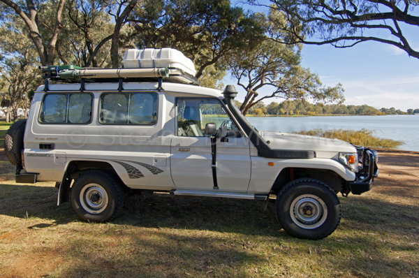 |
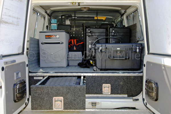 |
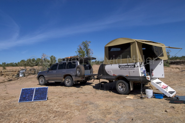 |
4WD Dreaming (From an article for Overlander magazine)
Your dream is about to come true: that longed for 4WD tour of Australia is within reach, but before you hit the dirt, there is planning to do. Regardless of how much time you’ll have on the road, the preparation you put in early-on will allow you to take full advantage of that hard-earned time and money.
Most important of all, is your choice of vehicle. A 4WD with low range, high clearance, a snorkel and a long-range fuel tank will allow you to plunder any track along the way. Anything less than that will start to limit where you can go. Over the years we have owned several 4WD Toyota Landcruiser models, and have never had any issues. Parts and labour can be found anywhere; the same holds true for Nissan 4WDs. A diesel 4WD will give you greater towing power, better fuel economy and access to fuel everywhere. Petrol may not be available at roadhouses on Aboriginal communities. LP gas is hard or impossible to find in remote areas and a conversion fitted to the undercarriage of a 4WD can decrease ground clearance. Air conditioning is also important since it allows you to roll up windows and set the AC on low to keep out dust on unsealed roads.
Regardless of what vehicle you have, there are a number of after-market accessories to consider. 4WD shops, ARB and TJM showrooms, and caravan/camping/4WD shows will make your heart soar and bank balance drop. After market must haves (or at least must consider) include:
-Suspension system: this needs to support a fully-loaded vehicle and tow a fully-loaded van or camper-trailer. With the hammering you take on corrugations, top-of-the-line springs are essential.
-Bullbar: something sturdy that won’t crumble on impact; otherwise, what’s the point?
-Driving lights: consider how much night driving you’ll do and select accordingly. Lights are expensive, so invest a bit extra in clear, protective covers.
-Winch: choose one rated to pull your fully loaded vehicle, and/or caravan or camper-trailer, out of a worst-case scenario sand or mud “situation”. Have the winch water protected before you leave.
-Air compressor: when driving on sand and unsealed roads, you need to drop your tyre pressure and then re-inflate them back on the bitumen. A small toolbox version that connects to the car battery and has a long hose is compact, efficient and easy to use. Don’t forget a good tyre gage.
-Rear step bar and spare tyre mount: there are a number of configurations for the rear step bar that can accommodate two tyres, jerry cans or even a small outboard motor.
-Recovery kit: pre-packaged recovery kits are available from most 4WD suppliers; many come with a how-to DVD. Make sure all straps, shackles and other parts are rated for your vehicle and winch. Learn to use the recovery gear before you go. You might also consider a Maxtrax 4WD recovery device: tracks you lay down in front of your tyres to give you enough traction to get out trouble, visit www.maxtrax.com.au-.
-Roof rack: while these reduce vertical clearance and change the centre of gravity if the vehicle is overloaded, they can also give that bit of extra space. Don’t exceed your vehicle’s recommended load and adjust your driving accordingly.
-Drawer system and cargo barrier: this allows you to take full advantage of space in the back of the vehicle and to keep everything in its place. There are a variety of systems set up with fridge slides, boxes and drawers suited to most 4WD models.
-Fridge: Engel and Wayco are the most popular, and after all, a cold one could be considered essential after a long day of driving.
-Dual battery system and Anderson plug: dual batteries isolate the car’s battery from a second battery running extras such as a fridge, etc. An Anderson plug allows you to ‘top up’ the battery in a van or camper-trailer in a short time.
-Hydraulic jack: the one supplied with your vehicle along with a back-up is a good idea. High-lift jacks and bull bags are only suitable if you know how to use them.
-Fire extinguisher: this should be easily accessible in the vehicle and be large enough to put out a realistic fire. Also carry a fire blanket.
-Spare parts: assemble a range of hoses, clamps, belts, coolant, basic spares, oil and tools to suit your 4WD. With a bit of lateral thinking, it’s amazing what you can fix with putty, cable ties, wire, zip-lock bags and duct tape.
-Tyres: a matter of choice, but don’t ignore the standard light truck tyres that probably came with your vehicle; they’ll be the easiest to replace in more isolated areas. Always carry two spares for your vehicle and at least one for your van or camper-trailer along with a tyre patch kit and extra tubes.
-Radios: UHF radios are short-range (relatively speaking) and will keep you in touch with anyone monitoring a particular channel within range. High Frequency (HF) radios are long-range. With VKS-737 Radio Network membership (Ph: 08 8287 6222 www.vks737.on.net) you do not need an RFDS license for HF.
Your next decision is what to live in: the key is to match a caravan or camper-trailer to your tow vehicle. Know the towing capacity, the ground clearance, the departure angle and the suspension of your 4WD and choose something that will follow along happily to the destinations you most want to see. A day spent at a large caravan show is the best place to start; don’t just look inside though, look under! While at the show, also check out solar panel systems and generators for power when you are bushcamping.
Caravans offer the most comfort, and at the end of the day, you just open the door and everything is there. However, no matter how sturdy the van, its size and weight will dictate where you can take it and your freedom to roam will be restricted. If you do choose a caravan, make sure it is truly off-road with something like Simplicity suspension and remember that smaller = freedom.
An off-road camper-trailer with a sturdy suspension system will take you almost anywhere, but you have to set it up and take it down on every single travel day and in most cases you have to cook outside. Don’t overlook a good tent and basic camping gear stored either in your vehicle or in a simple (and far cheaper) off-road trailer. Whatever van or camper-trailer you choose, look underneath to see what you need to protect since exposed PVC plumbing and wiring won’t survive rough or unsealed tracks.
The main thing, in the end, is to get going. One word of caution though, 4WDriving Australia is addictive, and once you are on the road, you’ll never want to go home.
© Steven David Miller & Linda Lee Rathbun
4WD at Chambers Pillar, Track to Chambers Pillar, Desert Beacon. © Steven David Miller
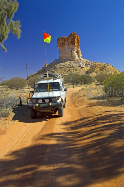 |
 |
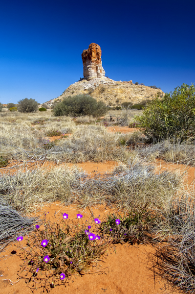 |
A Beacon in the Desert (From an article for 4X4 Australia magazine and from 4WD Australia: 50 Short Getaways)
Chambers Pillar stands along the western shores of the Simpson Desert like a sandstone lighthouse rising up 50 metres above the surrounding soft, rolling red waves. In Aboriginal mythology, the pillar is a Gecko Dreamtime ancestor, Itirkawara, banished and turned to stone when he chose a “wrong skin” bride. More recently, the pillar was named by John McDouall Stuart in 1860 on the first of three attempts to bisect Australia from Adelaide to Darwin. Stuart’s maps were later used by John Ross when choosing a suitable line for the Overland Telegraph, followed by the Ghan Railway. In the late 1800s and early 1900s, the pillar served as a navigation post for camel traders moving goods from Oodnadatta, where the Ghan ended, to Alice Springs. Those slow, laborious desert treks stopped when the Ghan was extended to Alice.
Today, Chambers Pillar is an historical reserve, and a not-to-be-missed 4WD trip from Alice Springs or on the way up from Finke. It could be done as a day trip from the Alice, but it would be a shame to miss a sunset and sunrise over the pillar, not to mention a night or two spent in the desert.
Travelling south on Old South Road from Alice Springs towards Maryvale, there are a number of stops to relieve the shattering corrugation and clouds of red, powdered dust. The Ewaninga Rock Carvings (24 km) are huge sandstone blocks engraved with petroglyphs and seemingly tossed in a heap beside an orange claypan. Here, and at other locations along the way, is a remnant of the Historic Overland Telegraph Line. The Line, and sleepers from the Old Ghan Railway, run almost parallel to the road all the way to the turnoff to Maryvale (89 km).
At Maryvale Station (106 km), it is time to stop and erect a warning flag, to engage 4WD and to drop that tyre pressure a bit. This is a public access road on a private station; it is illegal to venture onto any of the side tracks and you must close all the gates behind you. The Hugh River Floodway (112 km) will be dry (or you won’t be there), but in flood it can rise to eight metres. At 140 km from Alice, you’re in the Simpson Desert with a series of sand dunes and jump-ups to come, requiring a sharp lookout for oncoming vehicles on the single lane track. Add one more kilometre to the odometer, and when the track veers to the right, choose that path or the one to the left: The Staircase, a short steep, rocky incline for experienced drivers with low range. Rejoin the track (142 km) and continue riding up and down through the dunes, through a gate and through more dunes. And then, there you are, at the boundary and gate of the Chambers Pillar Historical Reserve (150 km). Within one kilometre, Chambers Pillar will appear before you like the eroded monolith you are expecting; Castle Rock sits 500m to the northeast and Window Rock stands beyond that to the north like a magnifying glass peering out into the desert. The campground follows with a fascinating information bay and walks to Chambers Pillar. Today as it was yesterday, Chambers Pillar is a desert mainstay and a part of Australia’s arduous history. Take time to enjoy it, and spare a thought for those who journeyed there before you.
© Linda Lee Rathbun
For more information visit the Parks and Wildlife Commission NT at www.parksandwildlife.nt.gov.au- or the Tourism Central Australia Visitor Centre in Alice Springs. For complete tour information and trip notes please see Chambers Pillar in our Explore Australia 4WD Australia: 50 Short Getaways book (http://www.exploreaustralia.net.au/Bookshop/Guides/Four-wheel-Driving/4WD-Australia-50-short-getaways-2nd-ed).
Stencil Rock Art, Wandjina Rock Art, Gwion Gwion (Bradshaw) Rock Art, Manning Gorge Campground. © Steven David Miller
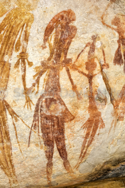 |
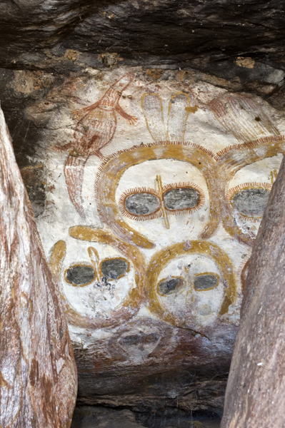 |
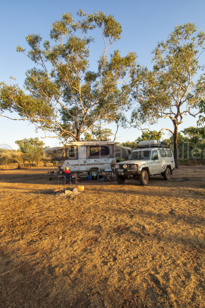 |
4WD Adventures in Rock Art (Adapted from an article for Caravan World Magazine)
One of the great delights of travelling in Australia is that you never run out of adventures. A single encounter can turn into a passion, as Aboriginal rock art did for us when we first saw Ubirr Rock in Kakadu 32 years ago. Many rock art adventures later, we know we could spend the rest of our lives seeking more out, yet still only scratch the surface of what there is to see.
It would be a great shame to be touring Australia with a 4WD and miss its rock art. Always check each state’s national parks website and look through the Cultural section for possible rock art sites. While the artwork itself becomes more complex the further north you travel, Victoria has sites in and around the Grampians. Off C221 from Stawell to Pomonal is Bunjils Cave with a nice tableau tucked into a rocky outcrop that is accessed via a scenic walk from the parking lot. Near the Stapylton Campground within the Grampians are the Ngamadjidj and Gulgurn Manja Shelters, well worth a visit if you are doing the superb Hollow Mountain hike. For those who have set up in the central area of the Grampians, a 4WD trip to the western end of the park should include the Manja Shelter with its panel of hand stencils left by the Jardwadjali people. About 3km north is the Buandik Campground and a walking track to Billimina Shelter with more rock art. Guided tours are available from the Brambuck Centre.
Everyone loves the Flinders Ranges, and on the way up from Port Augusta, it is worth having a look at Yourambulla Caves with access off B83 about 56 km north of Quorn. From the Wilpena Pound Resort campground, a drive to Sacred Canyon with a walk up the creek bed will reveal (to those who look for it) some examples of rock carvings.
New South Wales has its share of rock art too. In Sydney’s Ku-ring-gai Chase National Park, there is an art shelter near West Head. Along Resolute Track is the Red Hands Cave, and on The Basin Track is a rock-carving site along a wooden walkway. North Narrabeen (with Sydney Lakeside Holiday Park) has ferry access to Ku-ring-gai Chase.
While these are all worth seeing when you are in the area, some sites are destinations on their own. The Carnarvon Gorge section of Carnarvon National Park offers the superb Art Gallery with a 62 metre long mural of about 2,000 stencils, paintings and engravings. Further up Carnarvon Creek is Cathedral Cave with rock engravings and more artwork; it is easy to see why this must have been such an important gathering place. Be sure to take advantage of the park ranger interpretive talks on the rich Aboriginal culture and art in the park, and don’t miss the short walk to Baloon Cave near the Carnarvon Creek Wilderness Lodge, which offers a painting so perfect it is like a canvas hanging on a wall. Caravan camping is at the Takarakka Bush Resort; the road in is unsealed over the last 24kms and the corrugation can be severe.
The Mount Moffat section of Carnarvon National Park is a bit harder to access via a 124km unsealed road: this area is best suited to 4WDs and off-road vans. The Dargonelly Rock Hole and West Branch campgrounds have sites for vans and from these the rock art enthusiast must not miss The Tombs with an astonishing full body stencil, and Kookaburra Cave with a lovely panel of art. Archeological digs at Kenniff Cave revealed that the Bidjara and Nuri people have lived in this area stretching back as far as 19,500 years.
And so with these minuscule examples of what there is to see, let’s continue north in Queensland to Quinkan country in Cape York. About 48 km NW of Lakeland on the road to Laura is the Split Rock Aboriginal Art Site with a walking track that leads to three galleries. These can be done on your own, but even better is a tour from the Quinkan & Regional Cultural Centre in Laura that offers a wealth of fascinating information and interpretation. This can be done as a day trip from Lakeland or even Cooktown. For a full immersion into Quinkan Country, a 4WD trip to the Jowalbinna Rock Art Safari Camp is an adventure you’ll never forget. The 40km Maytown track branching just past Laura will deliver you to the Jowalbinna campground (which also offers accommodation). Leave the van in Lakeland or Cooktown; only high clearance off-road camper-trailers will make it through. The accommodation is just fine, and the rock art is superb with Steve and Matt Trezise serving as guides: they were literally born into it since their father, Percy Trezise, began exploring the art in the area in 1960 (Percy was a true adventurer). Cooktown also has rock art; this is best seen with the traditional elder, Willie Gordon, who offers the outstanding Guurrbi Tours complete with the stories behind the rock art of the Nugal-warra people in the Wangaar-Wuri region.
Again, these examples are only a few grains of sand in a landscape of tens of thousands of sandstone sites. In Alice Springs, with a base at one of the caravan parks, a 4WD trip along Old South Road takes in a very bumpy 35 kilometres to the Ewaninga Rock Carvings Conservation Reserve. The origin and meaning of the petroglyphs is either unknown or sacred-secret, and the site is in the custody of the Arrernte people. It is most worthy of a visit, and it is certainly worth noting that you drive right under a section of the Overland Telegraph Line and over a section of the Old Ghan Railway as you turn off for the parking area.
Also in the Centre, Uluru offers rock art in addition to that stunning scenery. The ranger guided Mala walk is most worthwhile, and a self-guided walk around the entire rock offers a number of Anangu art sites with excellent interpretive signs.
The Northern Territory can lay claim to much of Australia’s most magnificent rock art, and Kakadu offers easy access to a tiny few of the galaxy of sites. Ubirr Rock is amazing with three main sites including a rock surface high above a walking path with a painting of a thylacine. Free ranger guided rock art talks are presented daily and should not be missed; the Ayal Aboriginal tour with Victor Cooper (a Minitja man) includes Ubirr Rock. At Nourlangie, the Anbangbang Gallery has artwork that was repainted by Aboriginal elder, Nayambolmi, during the 60s. Archeological evidence indicates that the sites were used as far as 20,000 to 60,000 years back. The Nanguluwur art site via Gubara Road should not be missed either though the 3.4km return walk in the hot sun can be fairly draining.
The rock art adventure of a lifetime has to be at Mount Borradaile with Davidson’s Arnhemland Safaris. The cost is as breathtaking as the art galleries, but long after the credit card is paid off, the wonderful memory will remain. The art sites here are astonishing, and the guides will have you reeling with all the information they share. Experienced 4WDrivers up for a challenging track can leave the van at the Aurora Kakadu Caravan Park in Jabiru and drive up via Cahills Crossing, or you can fly in on the Davidson plane from Jabiru or Darwin.
If the Kakadu/Arnhemland’s rock art is superb, then the Kimberley’s Aboriginal rock art is sublime. Here, the two distinct styles of the Wandjinas and the Bradshaws (or Gwion Gwion) can be seen side by side. The Kimberley stations all have sites, but access to these is severely limited by the terrain and the fact they are on private property. If you are attempting the mighty Gibb River Road, then visit El Questro with an easily found panel of art at the end of Chamberlain Gorge that is accessed on a boat tour or by boat hire. Anyone who can make it up to the Mitchell Plateau should do so, and it would be criminal to go all that way and not see the art sites. At 101 km from Drysdale River Station is the turnoff to Mitchell River National Park: 6 km further is the King Edward River crossing immediately followed by a track on the left. Take this to a car park and walking trail to some fine examples of Wandjina rock art. The Munurru Campground is next, and 5km further is a rough track on the right leading to a car park and walking track that has both Wandjinas and Bradshaws. A thorough search here will reveal some amazing art and a few surprises that shall go unmentioned. Up on the plateau itself, the walk to Mitchell Falls includes more art sites.
Back along the Gibb River Road, Mount Elizabeth Station offers rock art tours (be sure a tour is scheduled during your intended visit). From the Mount Barnett Campground, the walking track from Lower Manning Gorge to Upper Manning Gorge includes Aboriginal rock art along the way. Galvans Gorge has some Wandjinas staring down from the surrounding rock ledges like ancestral ghosts.
Leaving behind rock art heaven, another stop along the way is Karratha. From a regional caravan park, do not miss the chance to take a drive up the Burrup Peninsula to Deep Gorge where a 3 km walking trail through scorching beauty reveals the largest collection of petroglyphs in Australia. Over 10,000 etchings carved into massive red blocks scattered like the toys of a mythological being make this a “must see” “must do” rock art adventure.
So there you have it: a tiny sample of the rock art adventures that are out there...and yet more reasons to keep “4wdriving” Australia
© Linda Lee Rathbun
4WD Day Trip in Litchfield National Park (N.T.), El Questro Station (Kimberley), Chambers Pillar (Red Centre). © Steven David Miller
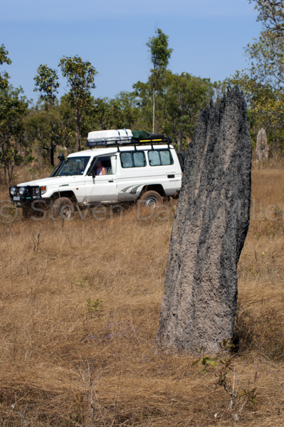 |
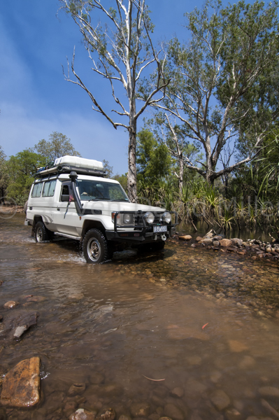 |
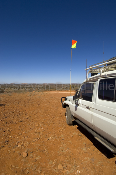 |
Taking Advantage of Your Four-Wheel Drive (Adapted from an article for Caravan World Magazine)
Many travellers plundering Australia’s network of roads with a 4WD and caravan in tow are all too familiar with the constant dilemma of where (not to mention if and how) one can safely take a van, especially now that these are getting big, bigger and biggest. There are some unsealed roads you may be willing to tackle for the sake of a remarkable destination, but in many cases the risk of damaging a caravan, not to mention the amount of cleaning required to get it back in shape, simply makes it not worth the trouble. This is where 4WD day trips from a base camp where your van stays safely behind are ideal.
Maps, such as those in Hema’s excellent Australia Road Atlas, are the perfect start. These clearly indicate roads that are sealed, unsealed or 4WD-only along with icons showing facilities along the way. This particular atlas has a 4WD section at the back as well as a national parks table at the front with an icon indicating which parks require a 4WD. Of course other 4WD regional maps like those published by Westprint are helpful too. Four-wheel drive touring books, with maps and trip notes such as those produced by the Moons, the Taits, Lewis & Savage and Rathbun & Miller can also be useful.
Accredited information centres (look for the blue or yellow italic “i” symbol) often offer great 4WD advice along with trip notes provided by regional 4WD clubs. For example, visit the information centre at Robe and the staff will be able to give you notes on exploring Little Dip Conservation Park while your van stays behind at beautiful Lakeside Tourist Park. The same holds true for the information centre at Hughenden where staff can tell you all about the unsealed road to Porcupine Gorge National Park and the 4WD Basalt Byway, after which you can return to the immaculate pool beside the Allan Terry Caravan Park for a refreshing swim. The Wadlata Outback Centre in Port Augusta can give you a Flinders Ranges & Outback Visitor Information Guide and the 4WD Tracks & Repeater Towers brochure that can get you off-road while the van has a rest at Quorn, Hawker, Wilpena or Copley. In Georgetown, with two caravan parks to choose from, The TerrEstrial Centre can direct you to Forsayth, Einasleigh Gorge and Cobbold Gorge, all best done without a van in tow. The Port Lincoln Information Centre can direct you to the sand and beach driving at Coffin Bay National Park, or give you the key to the gate for a self-guided 4WD tour to Memory Cove in Lincoln National Park. Roll up the awning before you leave the van at the Port Lincoln Tourist Park because the wind never stops howling.
The internet is also a good way to find short 4WD tours from a base camp. The ExploreOz website has tracks for each state along with all the information you’ll need: distance, driving time, interactive map, trip notes and more. For example, you are in Alice Springs and you’d like to take a day trip. Go to www.exploreoz.com-, click on the 4WD icon and then on 4WD Tracks to view a list. The Chambers Pillar track will provide a great day tour while your van avoids 300km of brutal corrugation and fine, red dust.
Each state has its own national parks service, and the websites can assist in finding numerous 4WD day trips. The Northern Territory national parks website includes a map icon for its regions; on any particular region a more detailed map pops up with 4WD roads indicated and with links to each park. Queensland’s national park website has plans for a four-wheel driving list in parks and forests. The South Australia site allows you to check a number of items on a list, including 4WD and a particular region, for a list of parks with maps. The Victoria site has a list of parks with four wheel driving in their activities section and Western Australia has a list under visitor information. The New South Wales site isn’t much help at all, but the Tassie site has links to a Cruisin’ Without Bruisin’ brochure that includes a number of tracks.
Aside from the national park websites, regional offices and headquarters are always worth a visit as local rangers will know exactly where to direct you and maps are often available. Regional forestry offices are also worth visiting as many state forests have extensive networks of tracks.
So, how do you find other great 4WD opportunities along the way? In our 4WD Australia books we addressed this very issue and provided many 4WD options along some of the main touring routes. Let’s say you are heading up the Stuart Hwy and you don’t want to take your nice, clean van off-road. From the Cadney Park Roadhouse, with perfectly nice caravan camping, you can take a 180km return trip out to the Painted Desert on a narrow, corrugated, easy 4WD track that leads to some astonishing scenery and crosses a number of lovely, dry creek beds (do check at the roadhouse before leaving to make sure the creeks are dry!). The Marla Roadhouse also has nice camping and a quick 4WD trip out to Mintabie will delight the opal fossickers in the family. From Stuarts Well Roadhouse you can take a drive out to beautiful Rainbow Valley and even stick around for sunset. The Alice has numerous 4WD day trips: a visit to Central Australian Tourism or the Parks & Wildlife Service office will provide you with Fact Sheets for at least five. Continuing north, you can camp at the marvelous Devil’s Marbles and then from the Bonney Well rest area (27km north on the Stuart) take a 190km return drive out to Whistle Duck Creek in Davenport Range National Park (do not access this park via the entrance 36km south of Devil’s Marbles as the track includes some extreme 4WD sections requiring registration with the Ali Curung Police Station).
As another example, let’s say you are on the Capricorn and Landsborough Highways between Rockhampton and Mount Isa. Set up the van at Dingo’s Dingo Caravan Park or Blackwater’s Bottletree Caravan Park & Motel then take the 34km road to Blackdown Tableland National Park to do the 21km scenic loop road (4WD-only). From Barcaldine you can divert south to Blackall, spend a few nights at the caravan park there and take a day trip out to the self-guided 4WD scenic drive at Idalia National Park. A very full day south of Longreach can include a 140km drive to Lochern National Park with a 40km habitat drive. To the north is a 124km unsealed drive to Muttaburra to see the full-size replica of Muttaburrasaurus landoni at the Exchange Hotel where you can also have lunch. Your home on wheels will await your return at one of Longreach’s two caravan parks. The Winton Visitor Centre can give you 4WD notes on Bladensburg National Park, Lark Quarry, Opalton and even Diamantina National Park while the van sits happily at the Matilda Country Tourist Park.
As a final example, let’s explore the Kimberley without taking the van on that most destructive of journeys: the Gibb River Road. From a base camp at beautiful Kununurra you can do a day tour to El Questro, or better yet, spend a night there to make the drive all the more worthwhile. Thirty-three kilometers further is Home Valley, which also has accommodation and is worth the extra distance. From the Turkey Creek Roadhouse on the Great Northern Hwy you can take the rather “ordinary” drive out to the Bungle Bungle Range in Purnululu National Park and spend a night at one of the two accommodation safari camps there. From the Halls Creek Caravan Park you can take an easy unsealed road out to Wolfe Creek Meteorite Crater. From the delightful Fitzroy River Lodge Caravan Park there is access to 4WD-only Tunnel Creek and Windjana Gorge National Parks.
No matter where or how you take off with your 4WD for the day, you must be prepared for the worst-case scenario. Never assume that things won’t go wrong just because you are only going for a day or two. Advise someone of your exact travel plans and when you expect to be back. Carry enough food and water for the day and enough in reserve for another three days in case you break down. Fill up with fuel before you go. Have a first-aid kit, an emergency plan in place and a means of contacting someone via radio or sat phone. Seek local knowledge and advice from other travellers who have just completed the track, from the closest police station or roadhouse, or from an information centre. Be certain you are up to the demands of the particular track you’d like to explore, and give it a miss if you are unsure or don’t have the necessary gear for your 4WD (a snorkel for example if you’ll be encountering a deep creek crossing). Remember to drop your tyre pressure slightly before driving on any unsealed road, and then re-inflate again once you are back on the bitumen. Carry two spare tyres.
While a caravan can provide most of the comforts of home, it can also restrict where you go. That 4WD you use to tow it is your ticket to freedom and by taking full advantage of it, you’ll have the best of both worlds: a great day out in the bush and a clean home to come back to.
© Linda Lee Rathbun
Dropping Tyre Pressure, Python Pool, Karijini National Park in Western Australia. © Steven David Miller
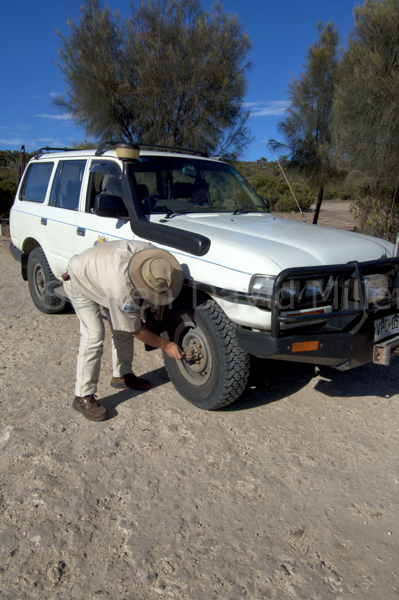 |
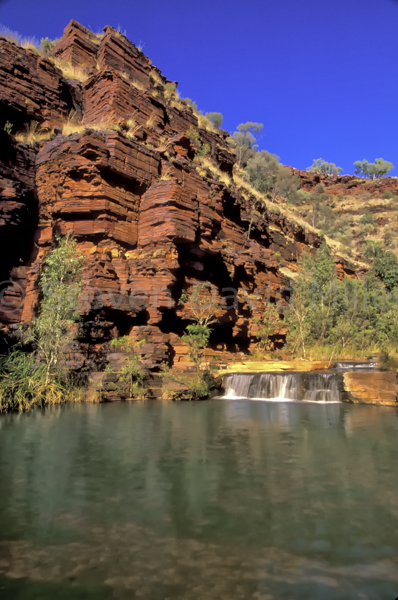 |
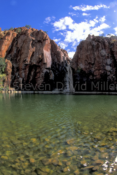 |
Trouble with Tire (Adapted from Natural Wanders in Australia by Linda Lee Rathbun)
We’ve learned the hard way about tires. These days, we skip the wider varieties, drop our pressure slightly on unsealed roads and take it very easy, always driving to the conditions. Here is what can happen if you don’t.
The roads in Karijini and up to Millstream eat tires for breakfast. You don’t get little flats here, you shred them. These ancient rocks have had nothing better to do for the last couple of billion years than sit around getting sharper and sharper. As we drove blissfully along from Dales Gorge to Kalamina Falls, we suddenly heard a strange hissing sound, like air under pressure being forced through a small opening. We stepped out of the car and watched helplessly as our tire collapsed before our very eyes. I really can’t describe how much fun we had changing it in the scorching sun on a dirt track with other drivers going by kicking up clouds of choking dust. About half the drivers stopped to see if we needed help, the other half just sped past, not even bothering to slow down. I climbed up onto the roof where all our spare parts were and got out the jack. Steve had the really nice job of manhandling the heavy tire off the wheel, the spare off the back door, then swapping them around. I offered helpful bits of encouragement, but was useless in the muscles department. We put everything away, and by then we were both covered in dirt and sweat. It was disgusting.
We had two options, we could go on with only one spare or we could return to Tom Price to repair our flat. It simply isn’t worth it to take risks in these remote areas, so off we went back to Tom Price, where we had come from just two days ago. The town’s only petrol station did do tire repairs, and after asking the mechanic to assess the damage--and only to fix it if it was an easy job--we left the flat tire and checked into the caravan park. We both had the most divine showers one can imagine, and then sat and had some lunch. Corellas and crested pigeons joined us; it was very pleasant after our morning ordeal. We picked up our tire, which Steve had to change again, and collapsed for the rest of the day.
Back into Karijini, all the way over at Weano Gorge, we discovered that the tire we had just had repaired in Tom Price was leaking air and we had to keep filling it with our air compressor. By putting a bit of soapy water over the repair, we could see bubbles coming out, showing that the leak was coming from the puncture. Wonderful. We searched through our spares and repair kit and found some silicone glue, squirting some of that on the tire. I was hopeful it would work and the tire would hold.
After a day of climbing around the gorges, we returned to our campsite, only to discover that the tire was low again. Another cup of soapy water and it was clear it was still leaking, slowly, but surely. We had hundreds of kilometres of off-road tracks ahead of us; we couldn’t afford to travel with a bad tire. We filled it with air, and drove back to Tom Price along the wretched, unsealed road. We just couldn’t seem to get away from that town. The service station that was supposed to be open for repairs on Sundays wasn’t, so we checked back in to the Tom Price Tourist Park for yet another night.
The next day was an early start, with another visit to the service station. The man who had fixed our tire was in Perth, and no one else could help us at the station. We ventured on, ending up at a tire shop. Another repair. By now we had spent $75 repairing this particular tire---a new tire was $200. We were beginning to wonder if we should have just bought a new one—as it turned out, we should have. It was too badly damaged to use as a working tire, and we didn’t dare rely on it for a spare. We replaced it, had another night at Tom Price, and the next day left for Hamersley Gorge and Millstream.
Just past Mt. Florence Station, a place where travellers can stay overnight if they want to try a station stay, I felt that the car just wasn’t accelerating as it should. I pulled over straight away, and we got out to have a look. Another flat tire. It was really flat, in fact, it was shredded. We were just thrilled at yet another opportunity to change a tire in the blaring heat of midday, on a dusty track. There were very few other drivers going by, but each one who did stopped to see if we needed help. Now, it is standard procedure to carry two spare tires and two jacks. We had the little hydraulic jack that came with the car, and a high-lift jack that most 4-wheel drivers buy. No matter what we did, we couldn’t find a safe place to position the high-lift jack. The only spot on the rear of the vehicle that seemed appropriate lifted both wheels, which the instructions indicated you shouldn’t do. By now we were hot, sweaty, and gritty and hadn’t made any progress with the tire. We abandoned the high-lift jack and went back to our little hydraulic jack. It took ages, we had to inflate the flat to get some lift off the ground, and Steve had to shift tires around until he had no energy left to even move. Finally, we were finished. We drank several litres of water each, and went on, reaching Millstream in a state of utter filth, exhaustion and despair.
By the time we arrived on the bitumen of the highway after superb Python Pool, I was ready to get out of car and kiss the ground. We enjoyed the smoothness of the paved road, looking out to each side where Sturt’s Desert Pea grew in huge drifts, it was lovely. As we drove on toward Broome, we heard a thumping sound coming from the rear left wheel. We stopped the car, got out and had a good look around but couldn’t find anything. We drove on, and again the sound. We looked again: nothing. Again the sound. This time, Steve saw what the problem was. The corrugation on the road we had been on for a drive out to Port Smith had loosened the lug nuts on the wheel of the tire we had changed on the way to Millstream. The nuts were almost sheered off and the holes where the wheel was set had becoming alarmingly large. We had to change the tire, hoping that the lug nuts would hold until we got to Broome. This was our last spare. We drove very carefully into Broome. There, we ended up having to buy two new tires, a new wheel, and new wheel bolts. We had learned a lot about tires.
On our next go around Australia, racking up almost 50,000 kms--mostly on unsealed roads--we only had two punctures and both were due to picking up nails. Our lesson learned the hard way had served us well. And what of Karijini and Millstream with all that tire trouble? It was worth every bit of it.
© Linda Lee Rathbun
4WD, 4WD Track, Skipjack Point Boardwalk in Francois Peron National Park, Western Australia. © Steven David Miller
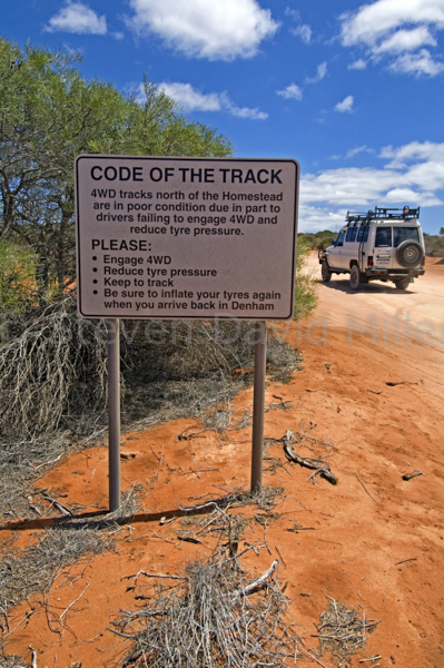 |
 |
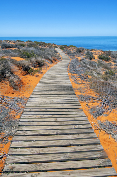 |
4WD Francois Peron National Park (Adapted from an article for Overlander Magazine and from 4WD Australia: 50 Short Getaways)
The Shark Bay World Heritage Area encloses some of Australia’s most stunning and important natural highlights. Protected to the east by the mainland and to the west by Dirk Hartog Island and a handful of finger peninsulas jutting into Denham Sound, the Peron Peninsula sits smack in the middle of it all. On the northern half of the peninsula is 52,500 hectare Francois Peron National Park; the only way to experience this absolutely splendid destination is by 4WD, and what could be better than that?
 It’s not just about the 4WDriving though, it’s about the boating, the fishing, the photography, the kayaking, the snorkelling, the birdwatching (yes, some of us are into 4WDriving and birding!) and the camping.
Francois Peron was only 26 when he joined the Nicolas Baudin 1801 expedition sent by Napoleon himself on a “voyage of discovery”. The crew spent 70 days in Shark Bay collecting 100,000 specimens representing 4,000 species, an astonishing contribution to science and the European knowledge of Australia. Peron also wrote about the Malgana people, the Aboriginal occupants of Shark Bay. From 1881, the Peron Peninsula was a sheep station and was grazed until 1990 when it was purchased and gazetted as a national park.
The code of the track mandates that visitors engage 4WD and drop their tyre pressure to something in the 20psi vicinity depending on a vehicle's load and driver's preference. The long, red, narrow track has soft, sandy ruts and the odd pullout. Park rules require that vehicles stay on the main track and/or the tracks to the campgrounds; many of the old station tracks are now off limits for re-vegetation. Everyone should heed the caution signs for both bilbies and mallefowl. This is evidence of the success of Project Eden. When the peninsula was turned into a national park it was over-run with feral animals and more than half the native species had vanished. With the help of baits and a fence across the isthmus of the peninsula, foxes were eliminated and other ferals reduced significantly. A program to re-introduce natives is in place, the bilby, woylie and mallefowl being among the first. Particular care should be used between dusk and dawn.
If ever a 4WD destination saved the best for the end of the road, it is Francois Peron’s Skipjack Point . A boardwalk weaves out to two stunning lookouts over the Shark Bay Marine Park where you can stand for hours and view a mesmerizing display of marine life on parade. Sea turtles rise to the surface for air. Manta rays and stingrays speed through the water like commuters late for work. Bait balls roll furiously along and reef sharks follow with a slow, steady purpose. Dugongs might be seen feeding on the seagrass, the most expansive and varied meadows on earth and one of the most important factors in having Shark Bay listed as a World Heritage Site. Dolphins frolic. Pelicans bobble. Cormorants dive. A closer look reveals cuttlefish dancing about the rocky outcrops and a multitude of colourful fish one would expect to find on a coral reef. To the southeast the view sweeps back across the red cliffs leading to Herald Bight and to the west is a cove with the 3km return Wanamalu Trail, an interpretive walk to Cape Peron North. These waters beg you to come in, but beware because two strong currents converge here making it the only spot along the entire peninsula that isn’t safe for swimming. Diving and boating is permitted but spear fishing is not. The final word on Francois Peron, and the entire Shark Bay area, is we wish we were there right now.
© Linda Lee Rathbun
For more information visit the WA Department of Parks and Wildlife in nearby Denham or online at www.dpaw.wa.gov.au/park/francois-peron-. For complete tour information and trip notes please see Francois National Park in our Explore Australia 4WD Australia: 50 Short Getaways (http://www.exploreaustralia.net.au/Bookshop/Guides/Four-wheel-Driving/4WD-Australia-50-short-getaways-2nd-ed).